W 74° — LANDFALL
The Continents
The heart of the circumnavigation — the finest single map of each landmass, passed in turn.
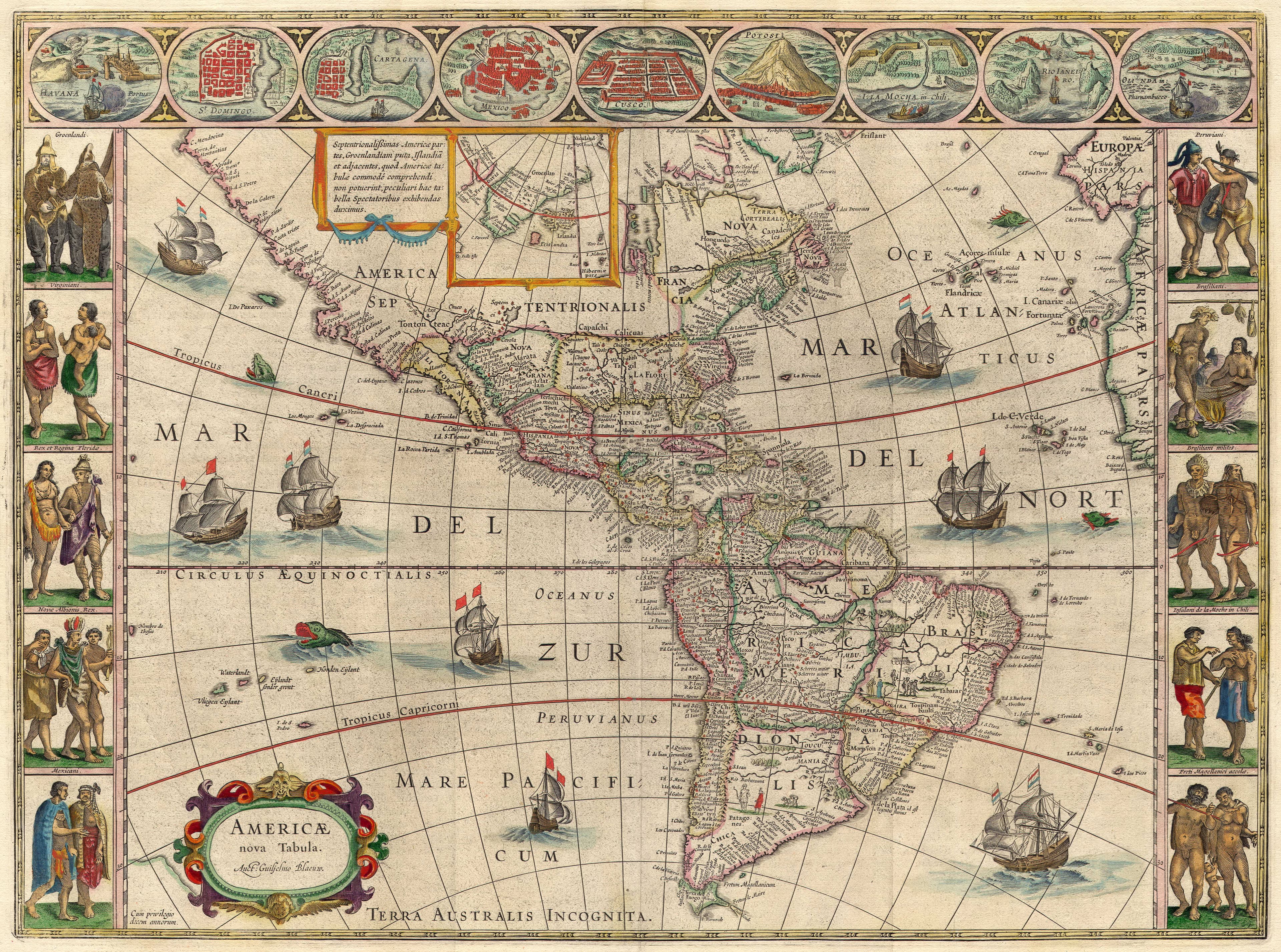
c. 1617
The Americas
The New World, framed with its cities and peoples.
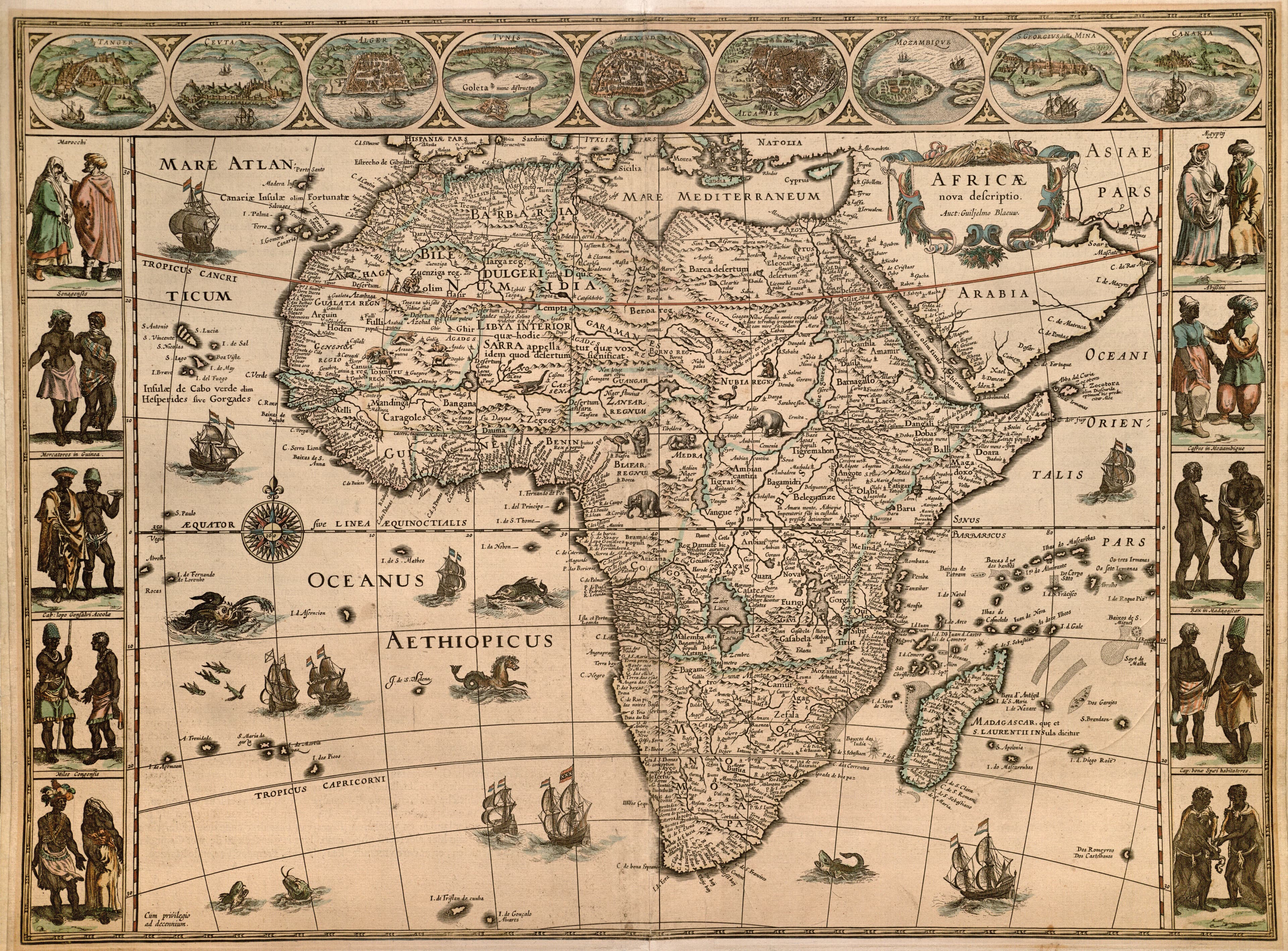
c. 1617
Africa
The continent, gilded and imagined.
c. 1617
Asia
The road to the riches of the East.
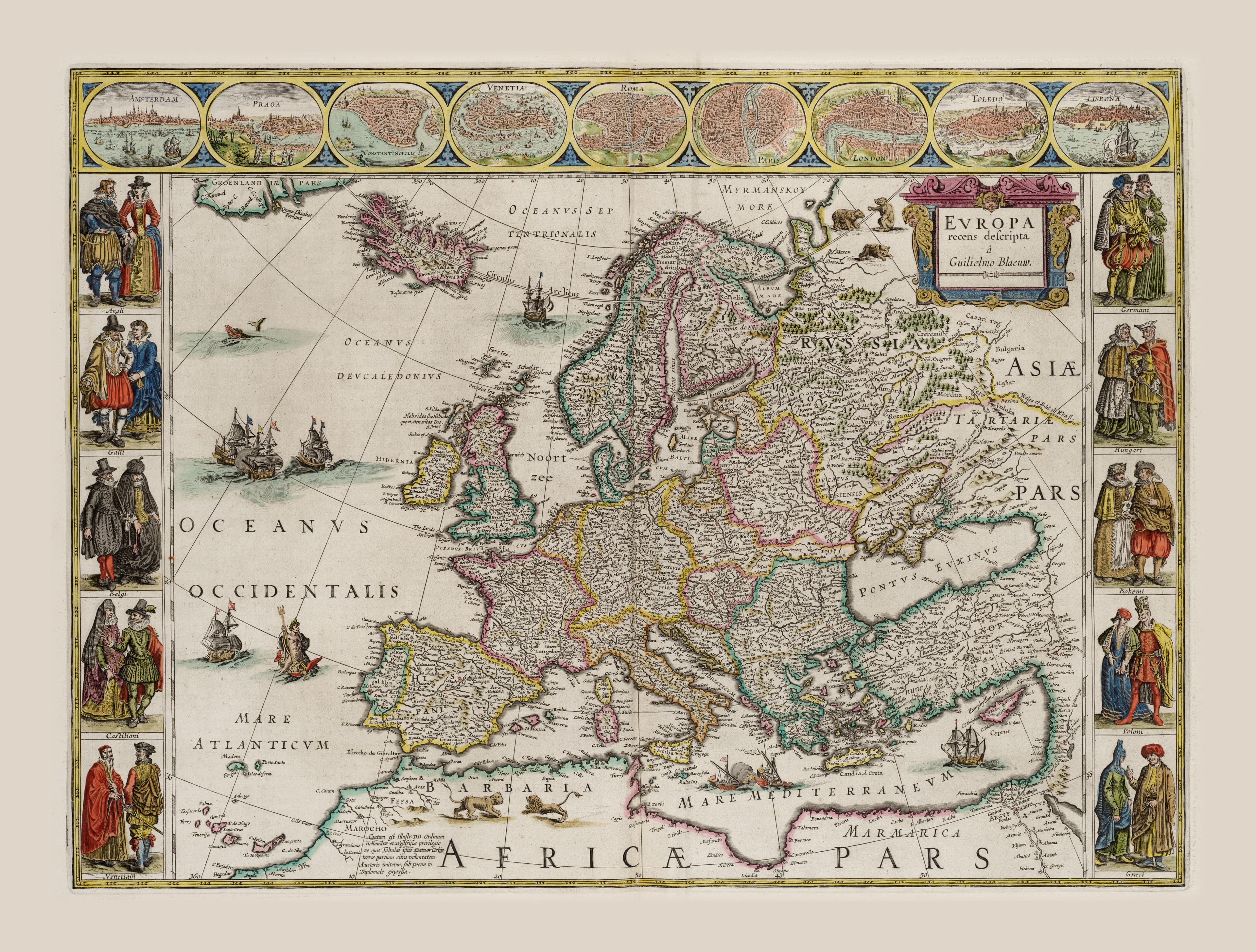
c. 1617
Europe
The old world, at the height of its confidence.
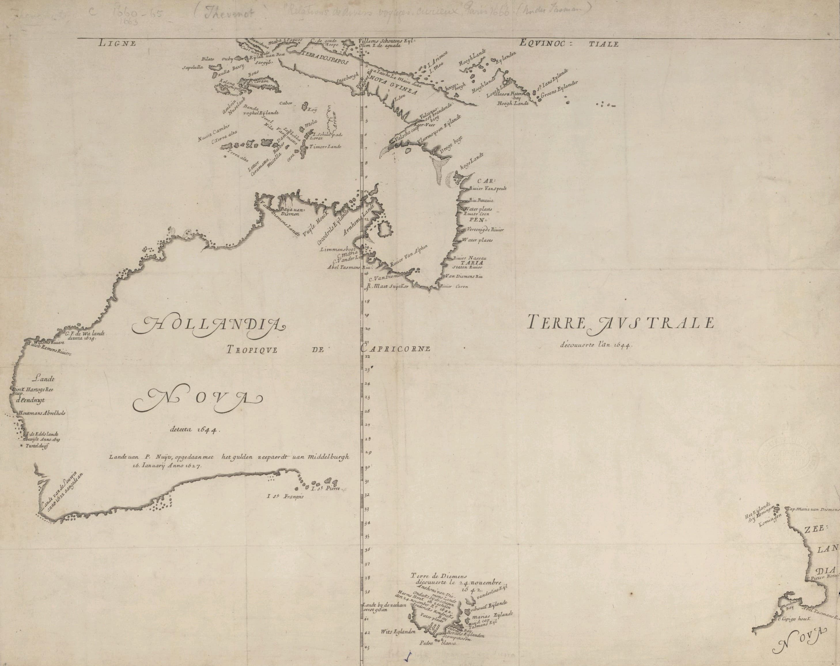
1663
New Holland (Australia)
The first printed glimpse of Australia.
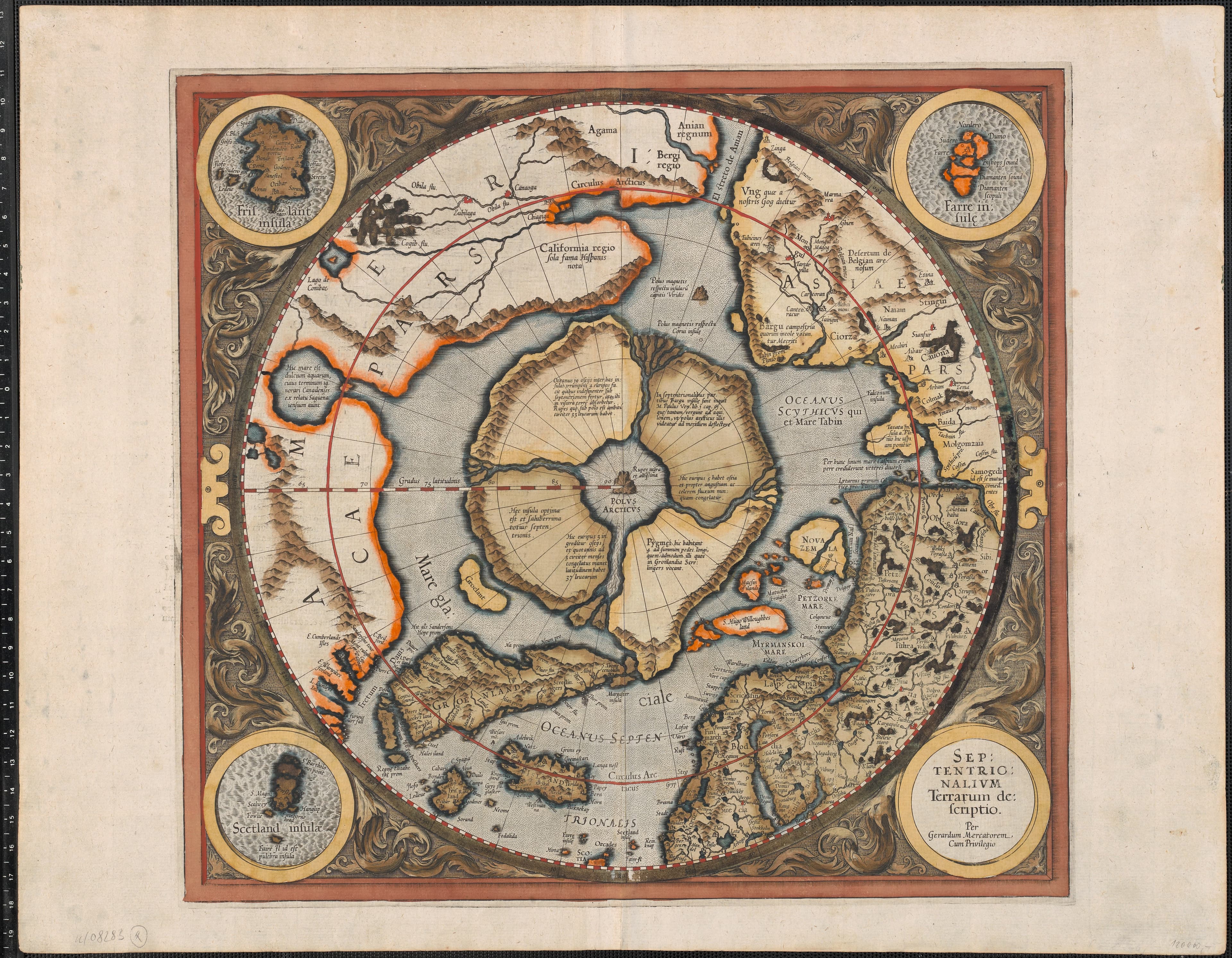
1595
The North Pole
A black magnetic mountain at the top of the world.
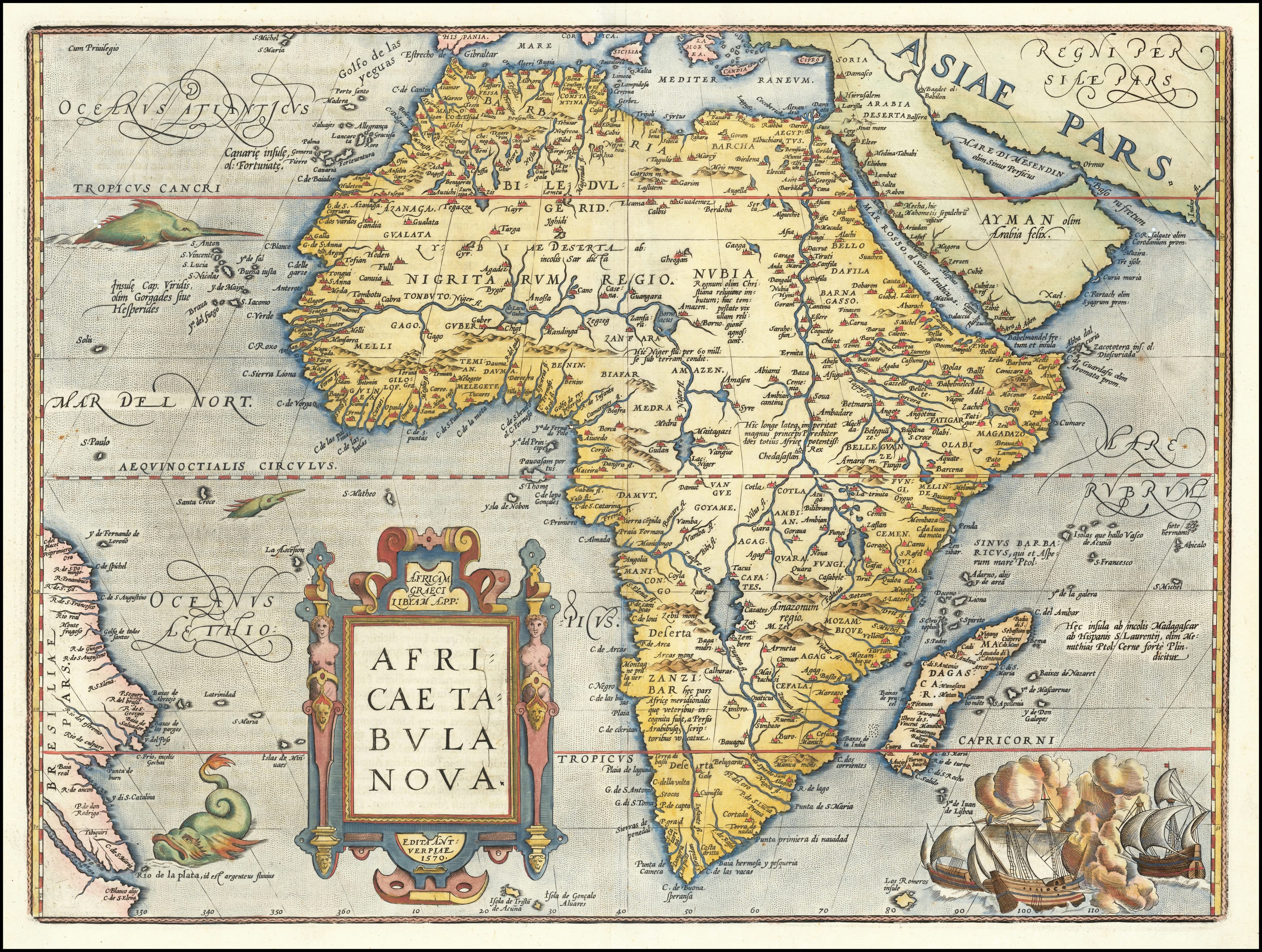
1595
Africae Tabula Nova
sea monsters and full-sail ships in both oceans.
regional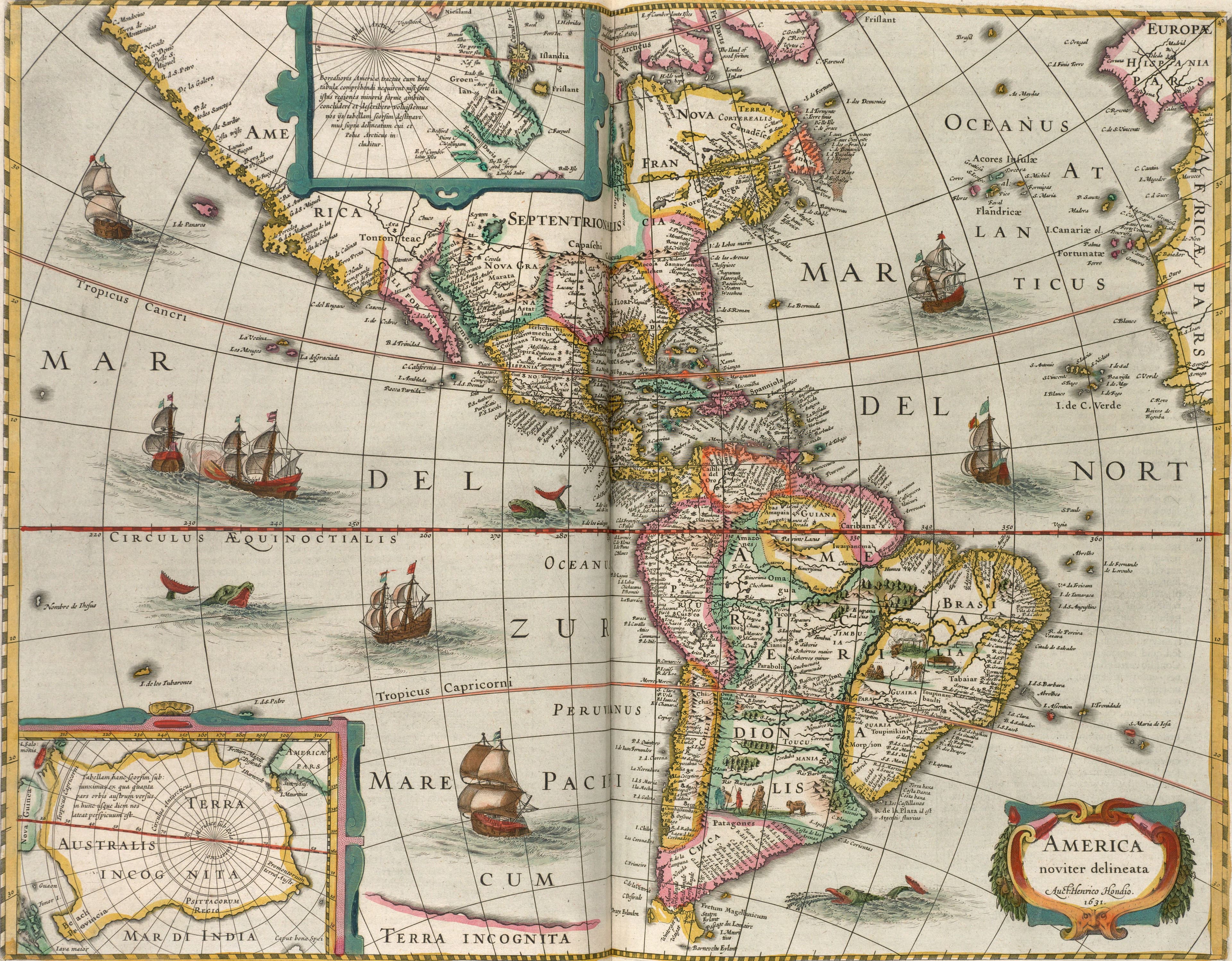
1631, printed 1638
Hondius's America, Newly Drawn
Two continents, dated 1631, for a family atlas.
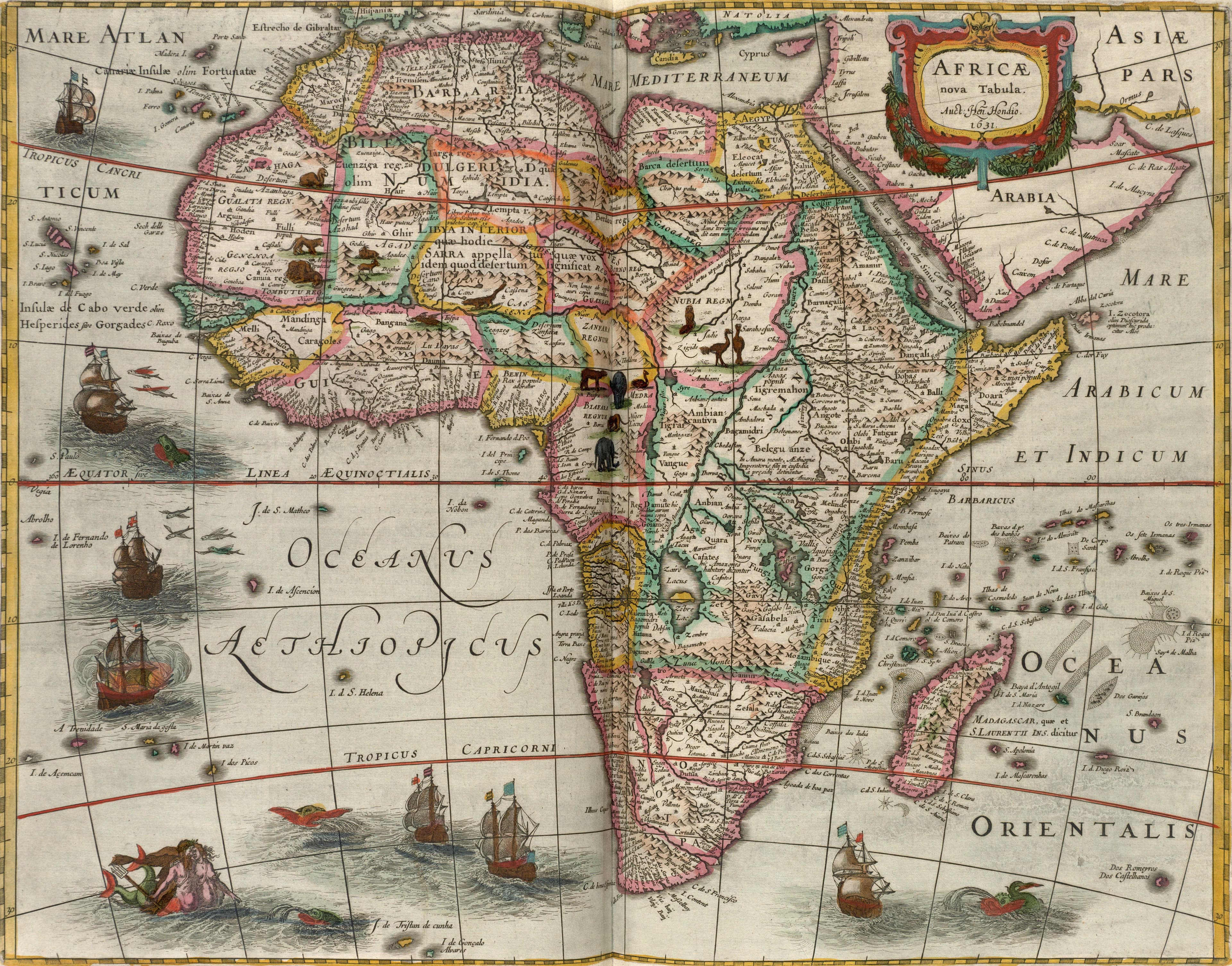
1631, printed 1638
Hondius's Africa
A new table of Africa, dated 1631.
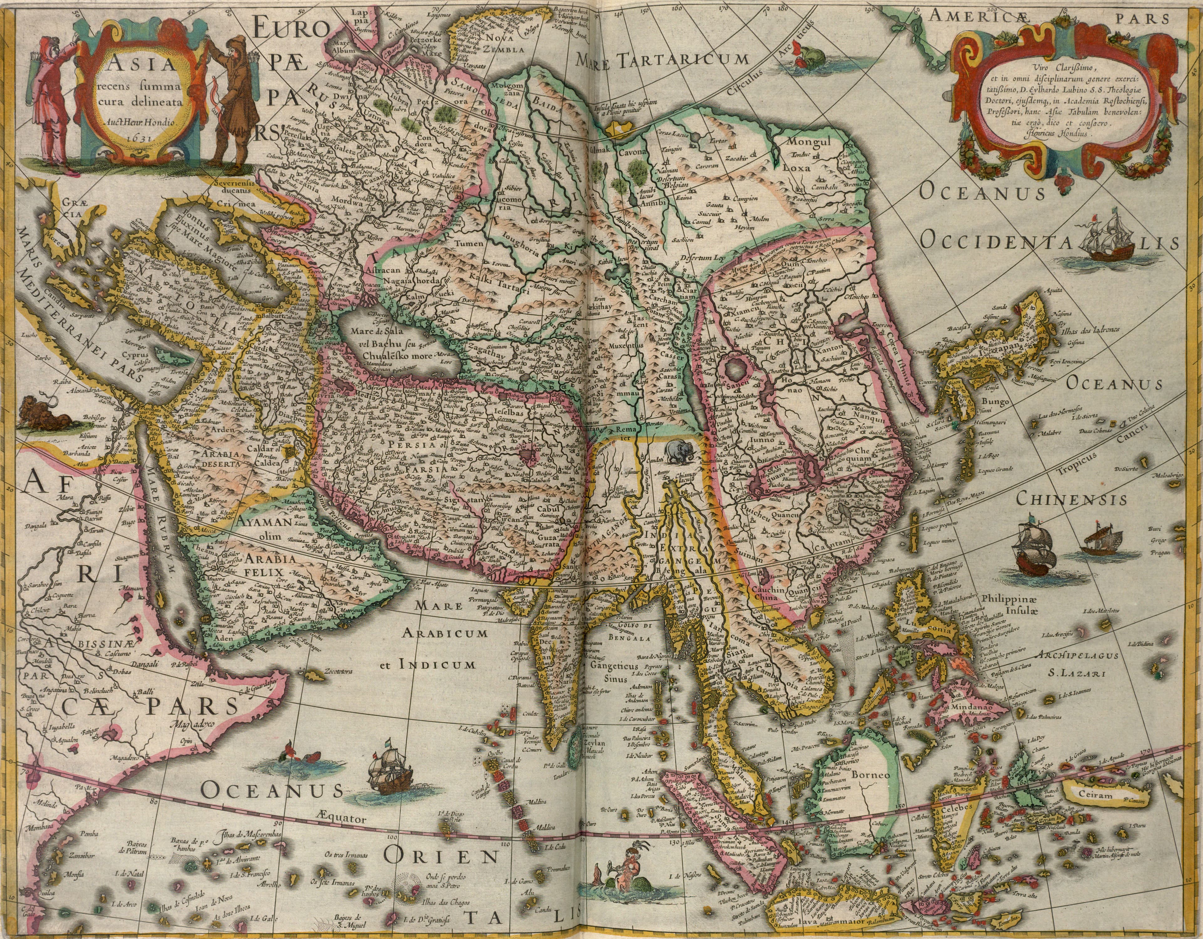
1631, printed 1638
Hondius's Asia
Asia, drawn again with the greatest care.
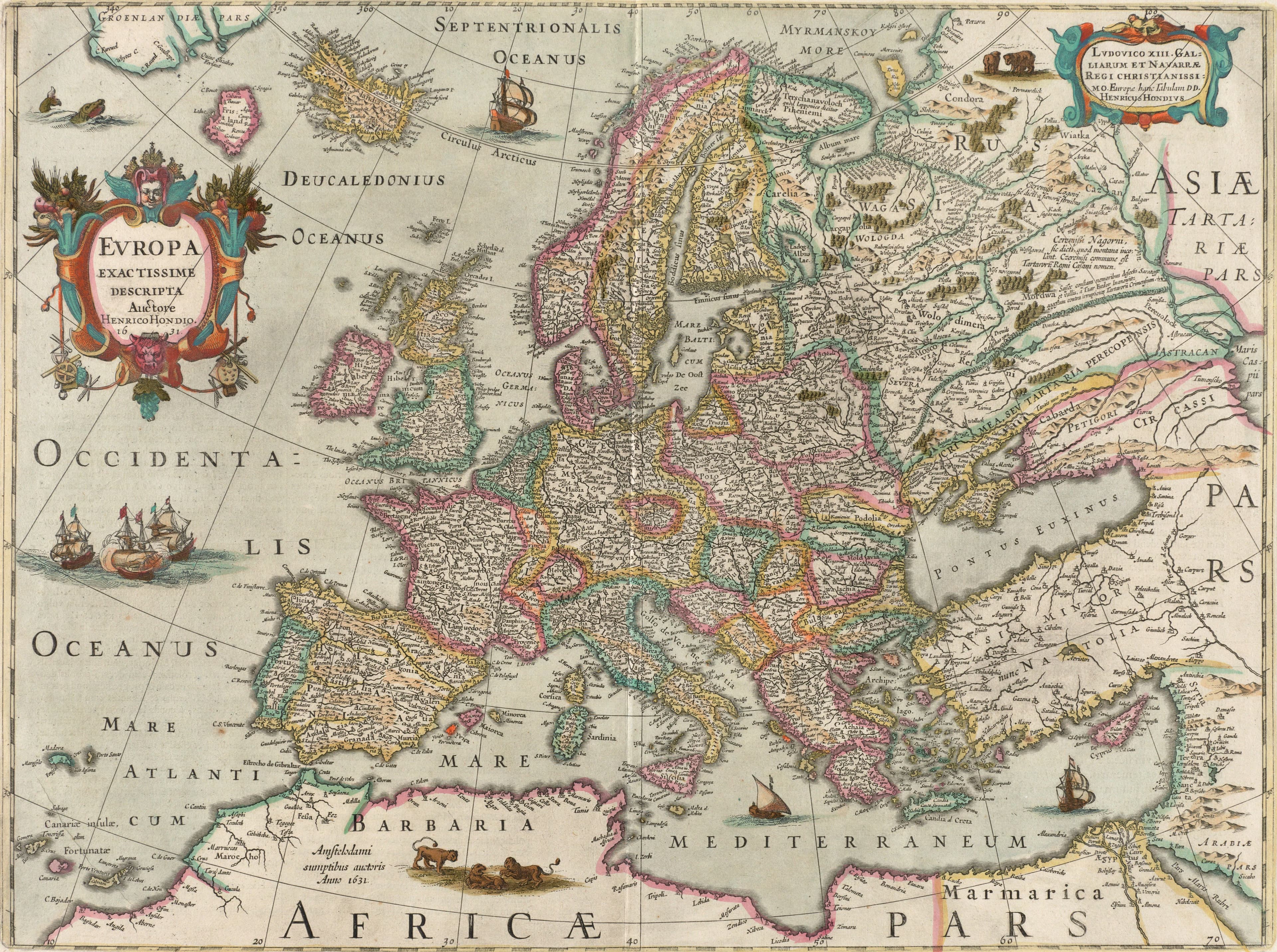
1631, printed 1638
Hondius's Europe
Europe, described most exactly, by its own mapmakers.
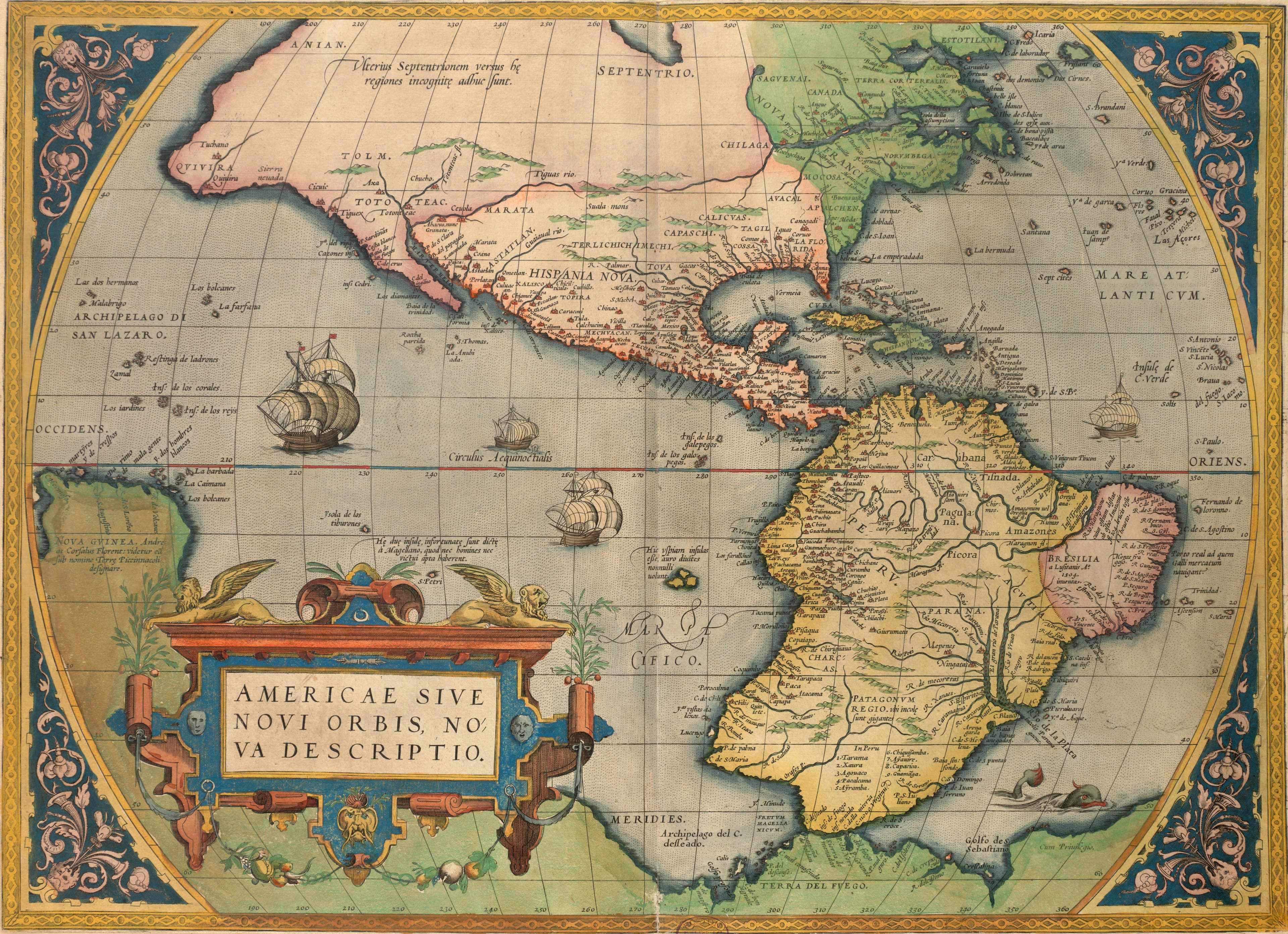
1570
Ortelius's America, 1570
The New World, from the 1570 Theatrum.
1570
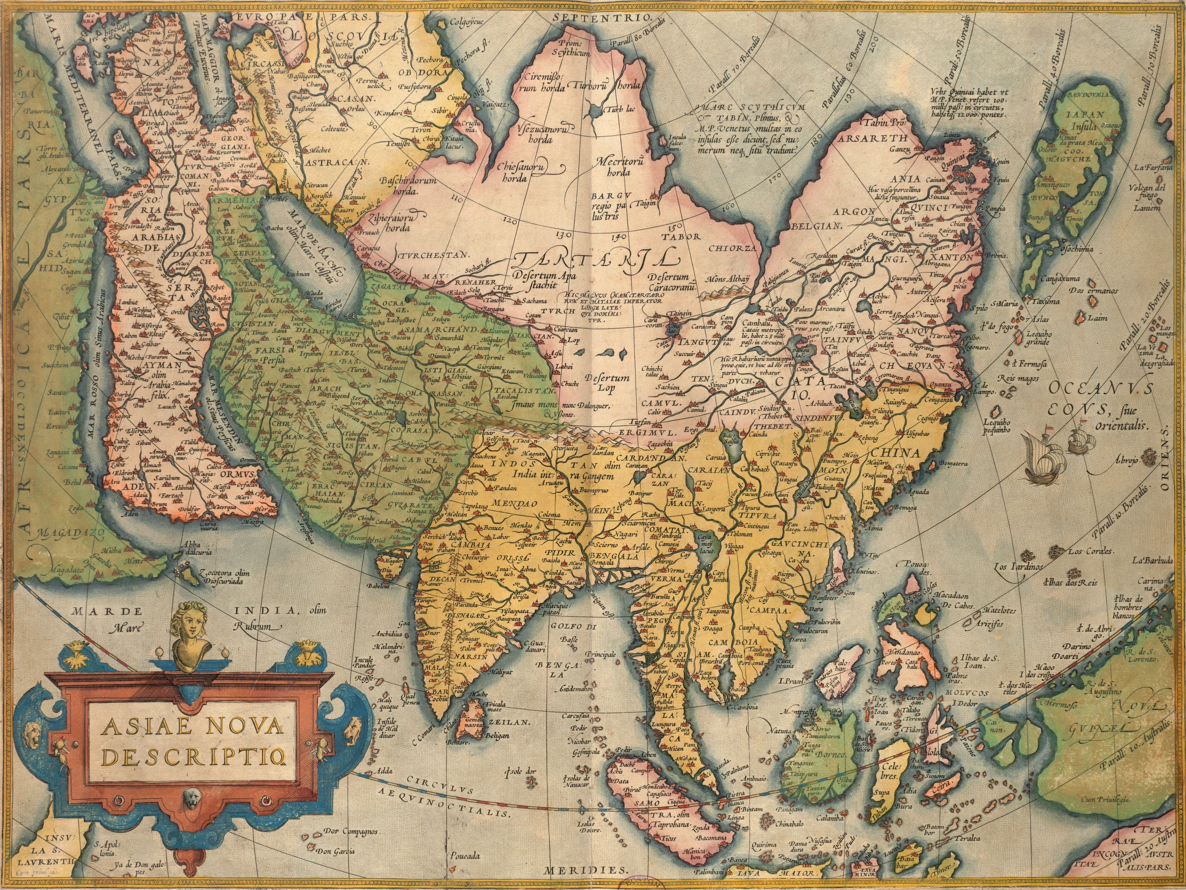
Ortelius's Asia, 1570
Asia, as Antwerp pictured it in 1570.
1570
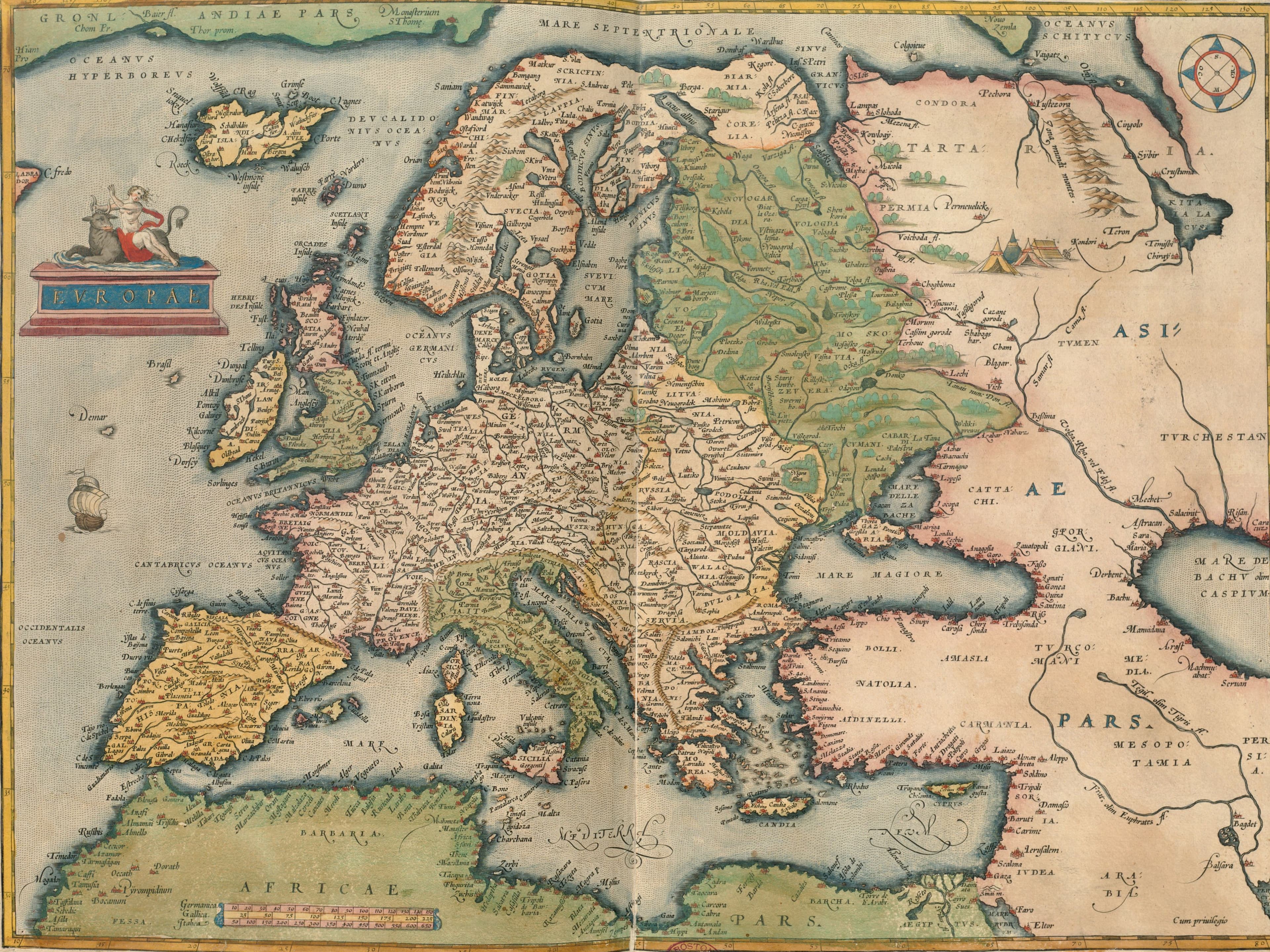
Ortelius's Europe, 1570
Shakespeare's Europe, from the 1570 Theatrum.
c. 1680
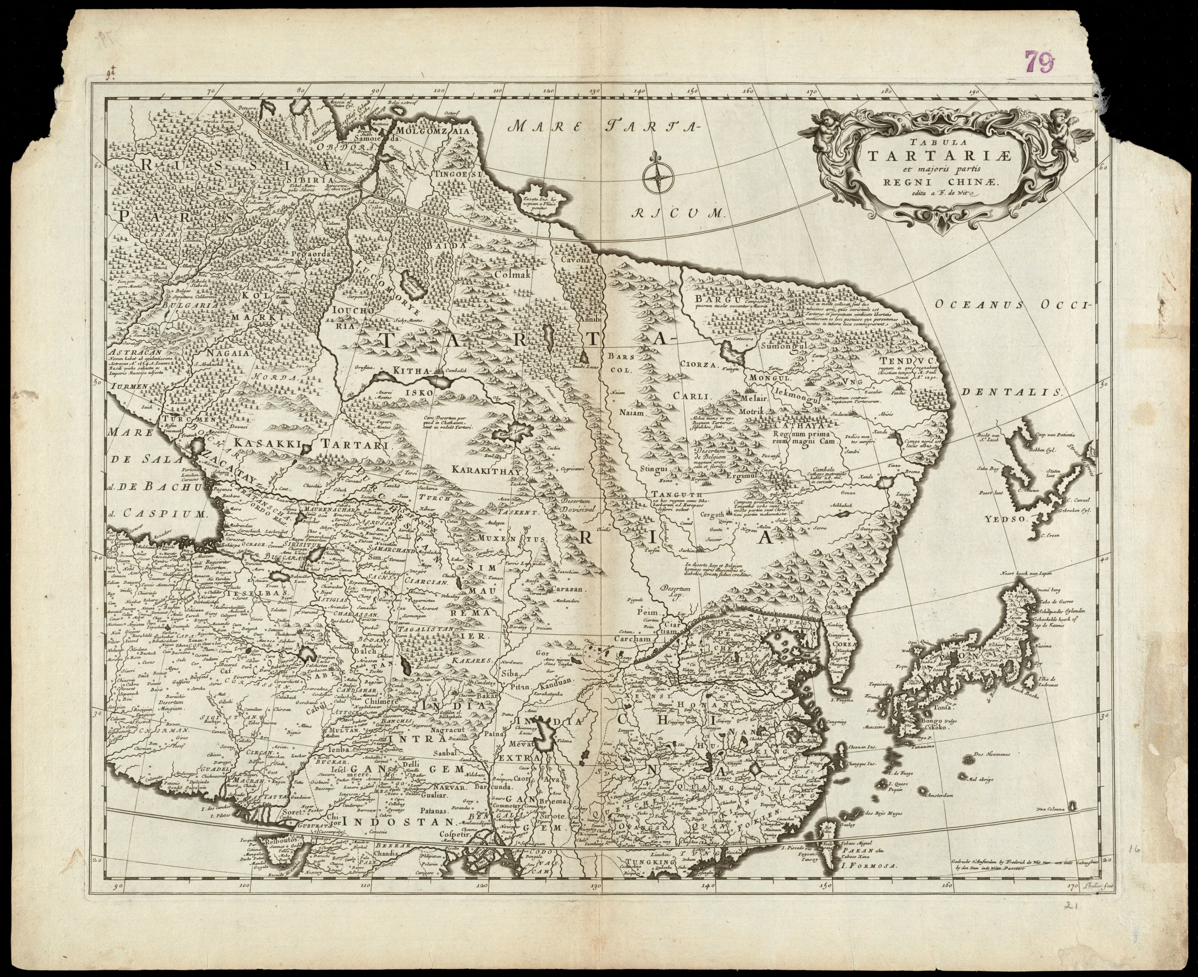
De Wit, Tartary and China
Tartary and China, sold by the Dam in Amsterdam.
1658
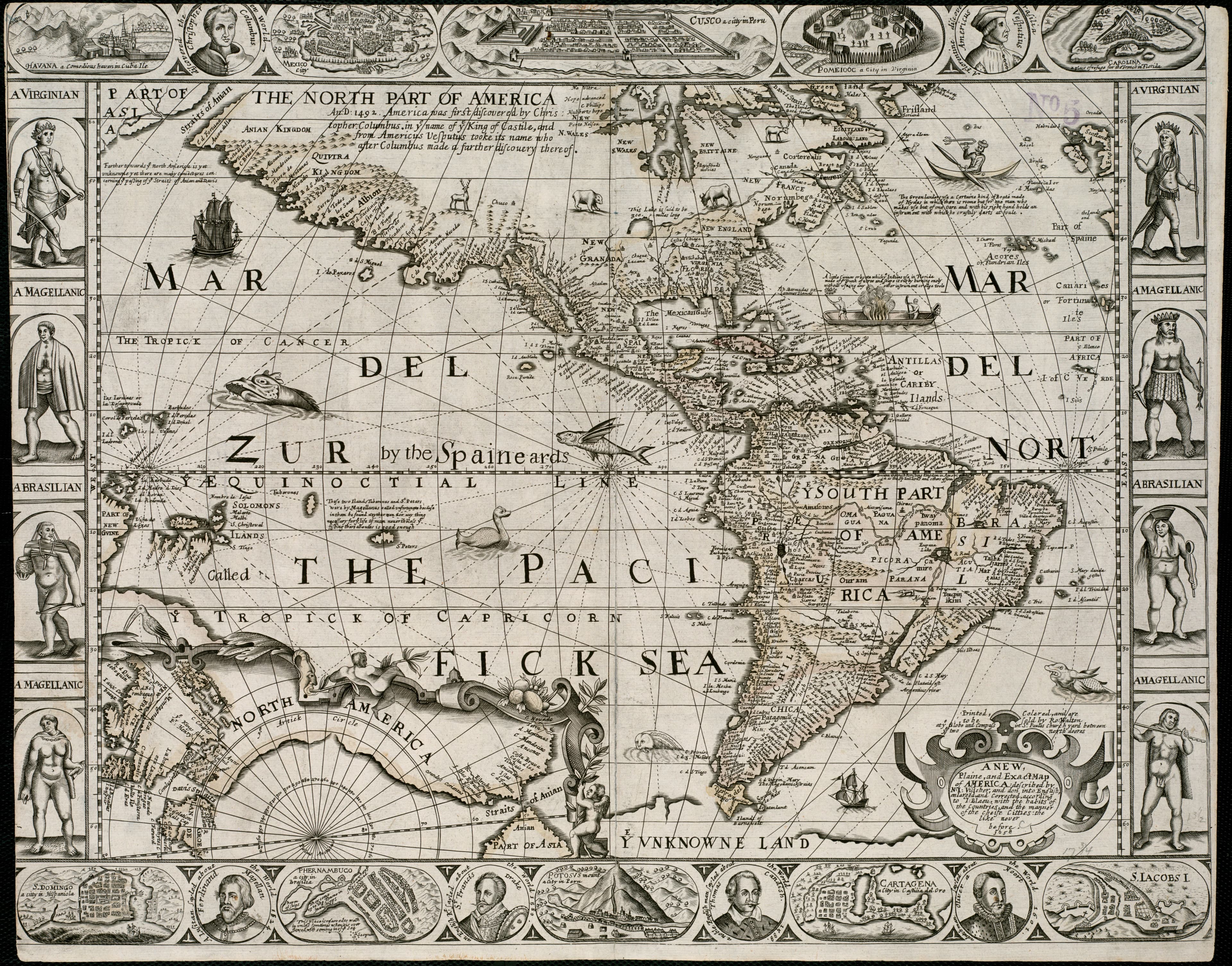
Walton's Map of America, 1658
America in one English sheet, with its people round it.
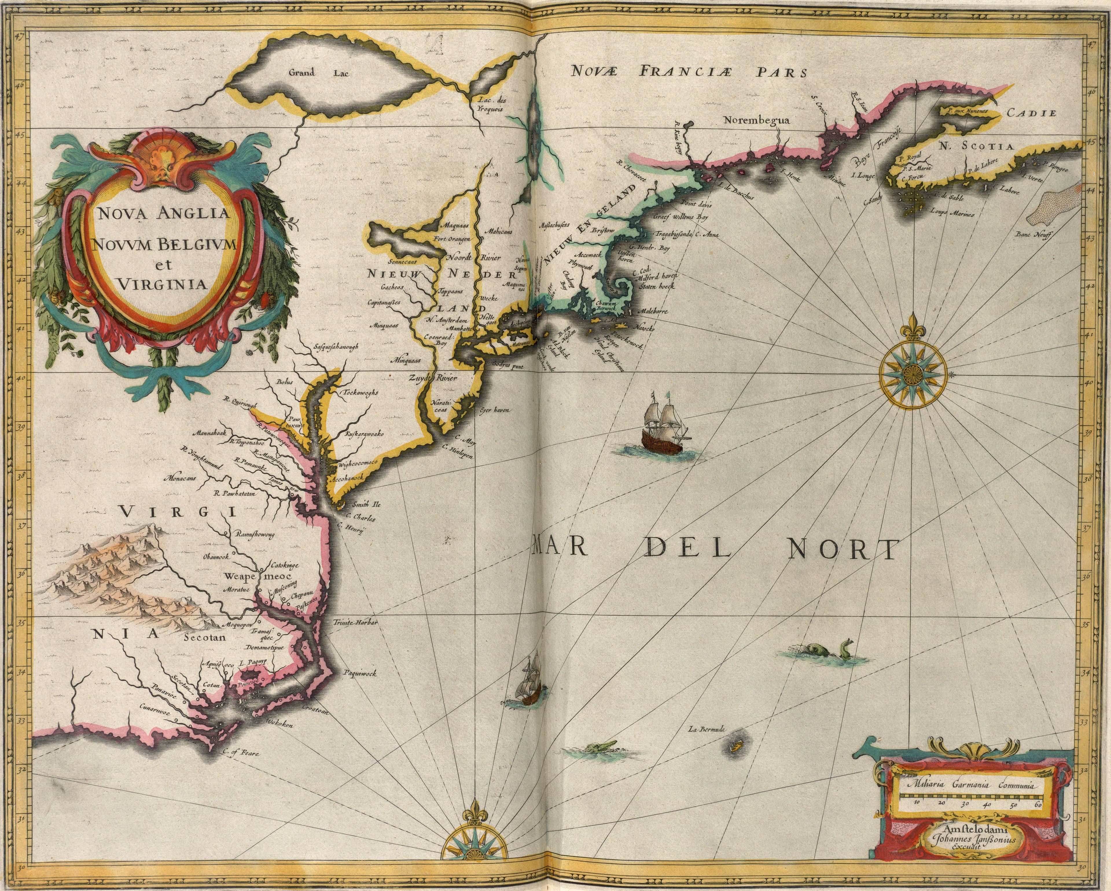
1638
Jansson's New England and New Netherland
New England, New Netherland and Virginia, on one coast.
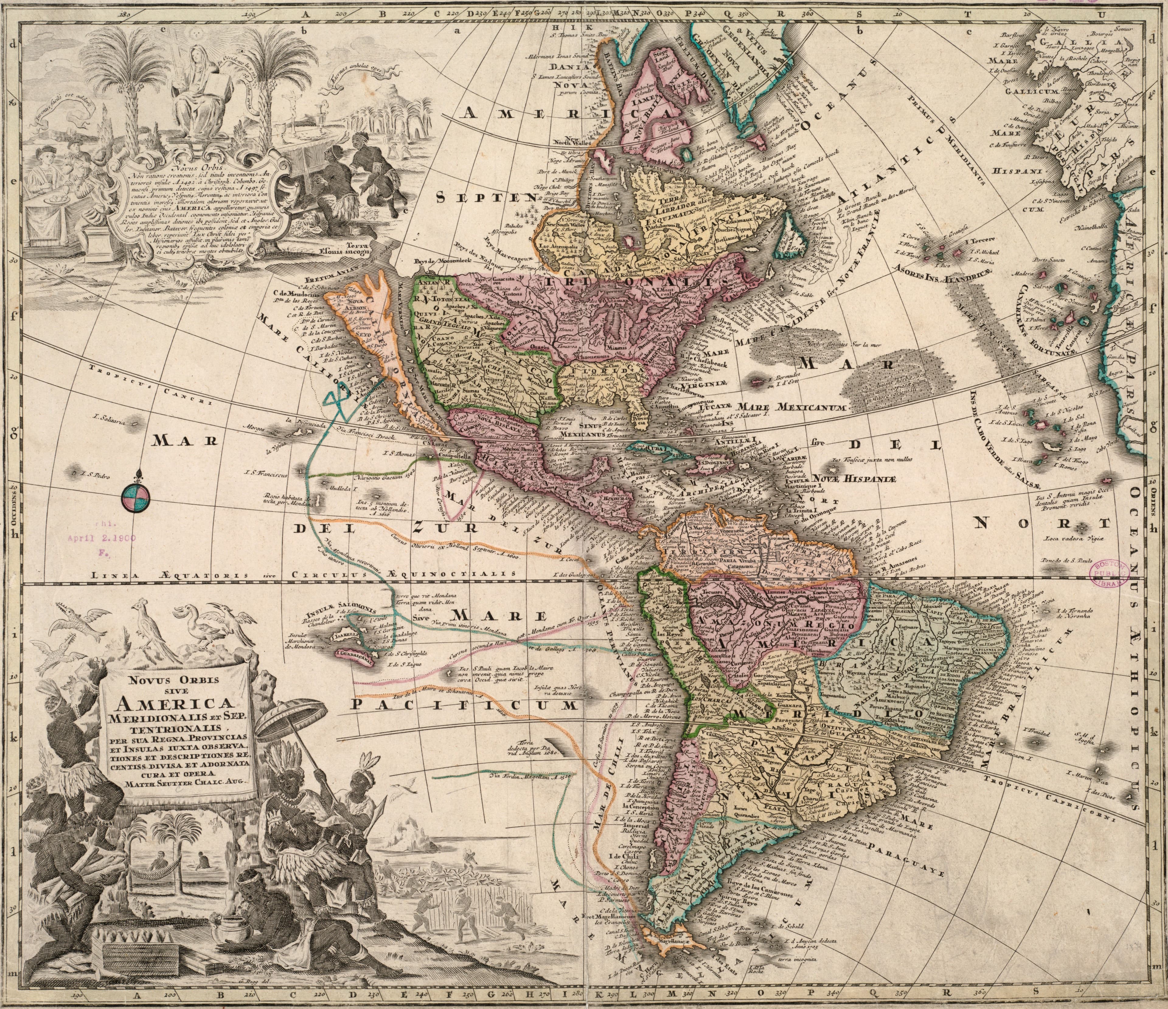
c. 1731
Seutter's New World
Both Americas, coloured by hand in Augsburg.
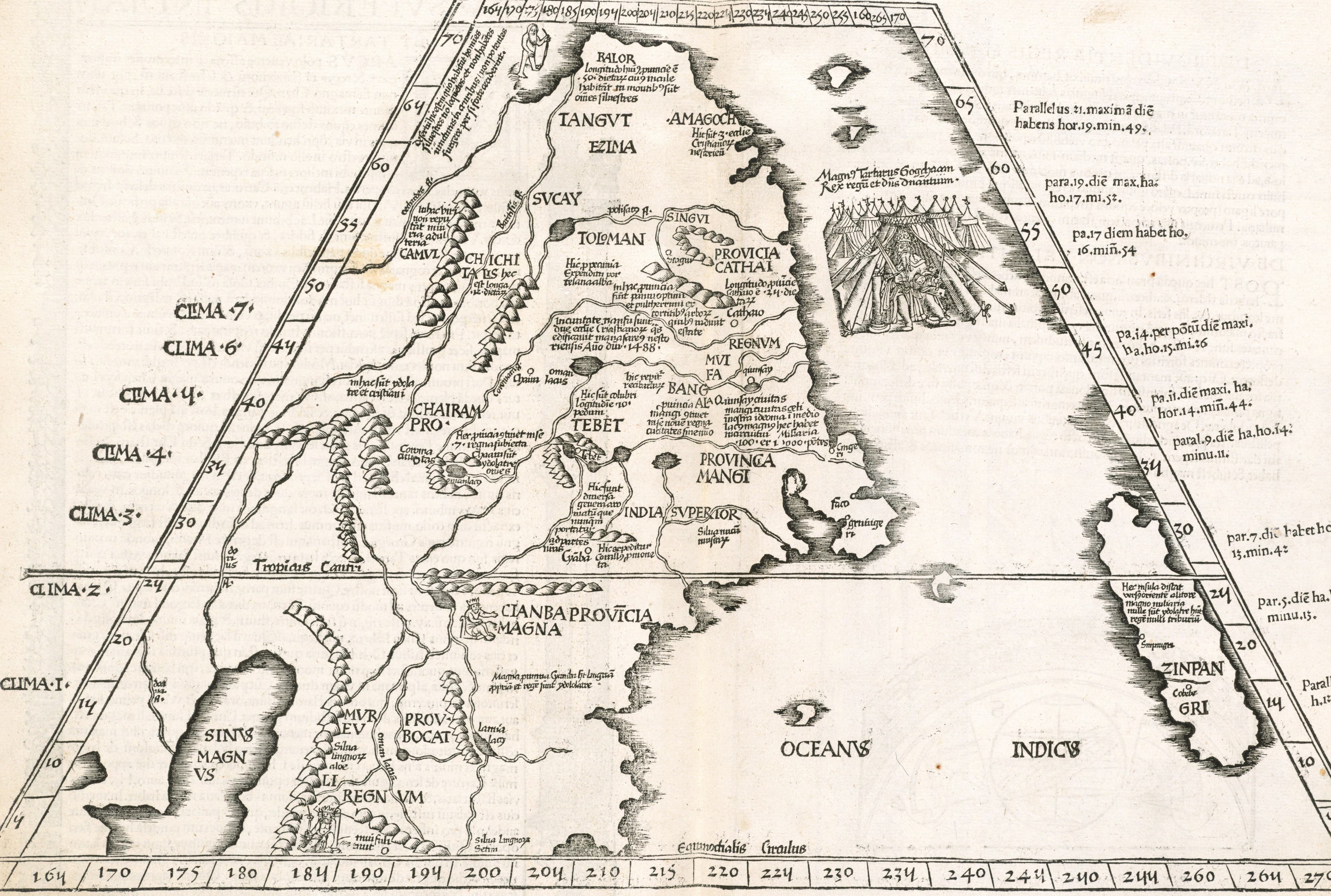
1525
Ptolemy's Upper India and Tartary, 1525
The far east as a Strasbourg printer found it in Ptolemy.
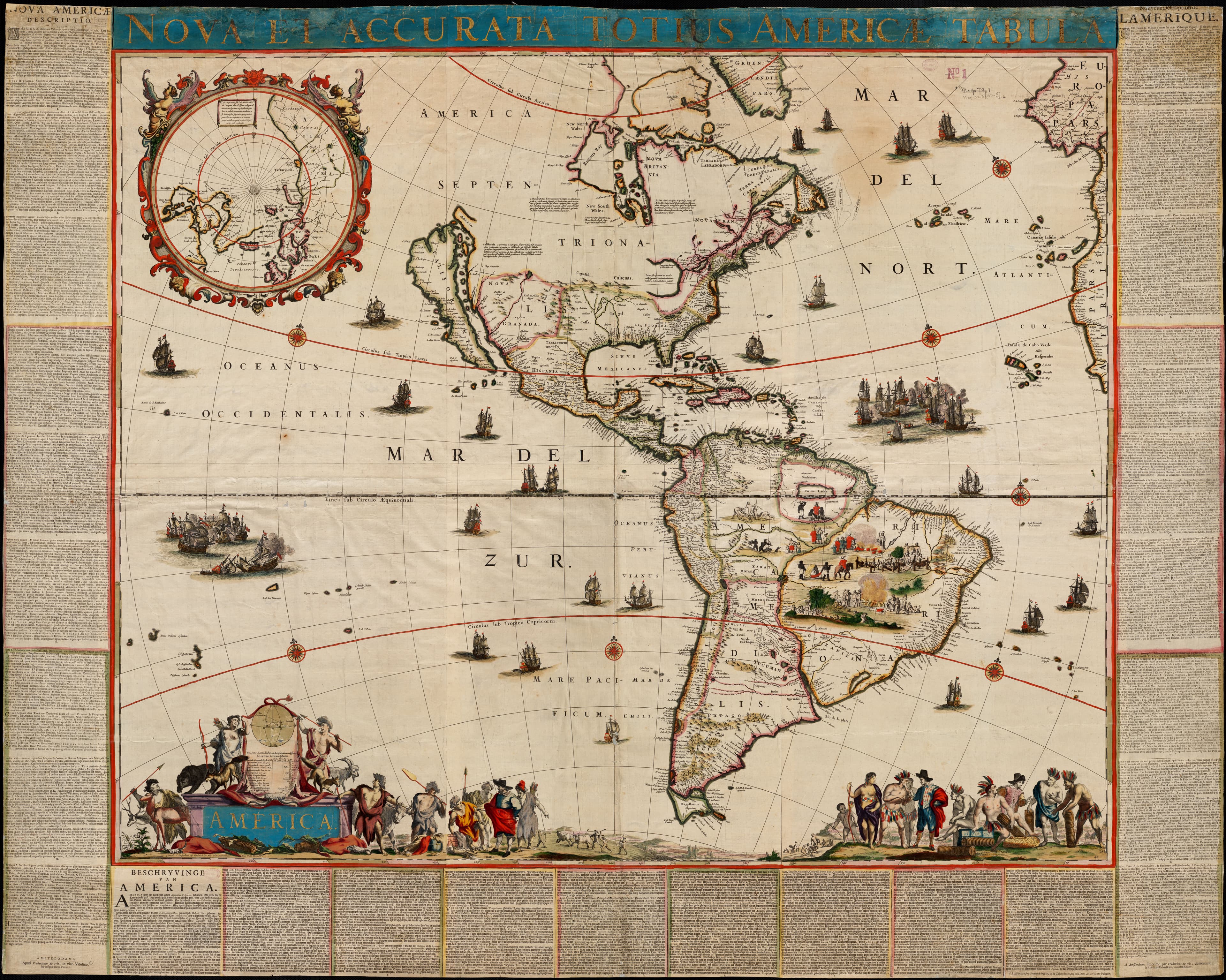
1660
De Wit's Wall Map of the Americas
A Dutch wall map that survived its own wall.
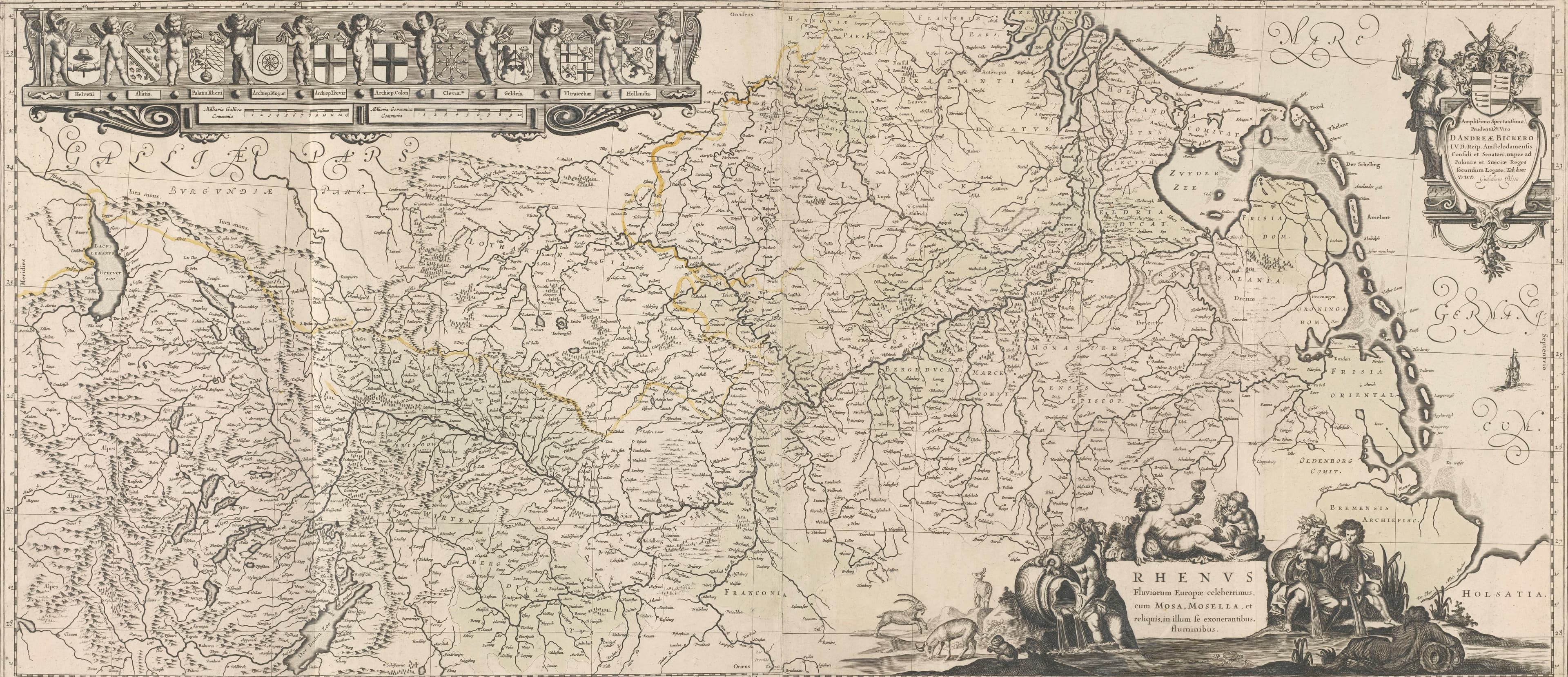
1636
The Rhine from Switzerland to Holland
One river, ten coats of arms, held up by putti.
north to the right