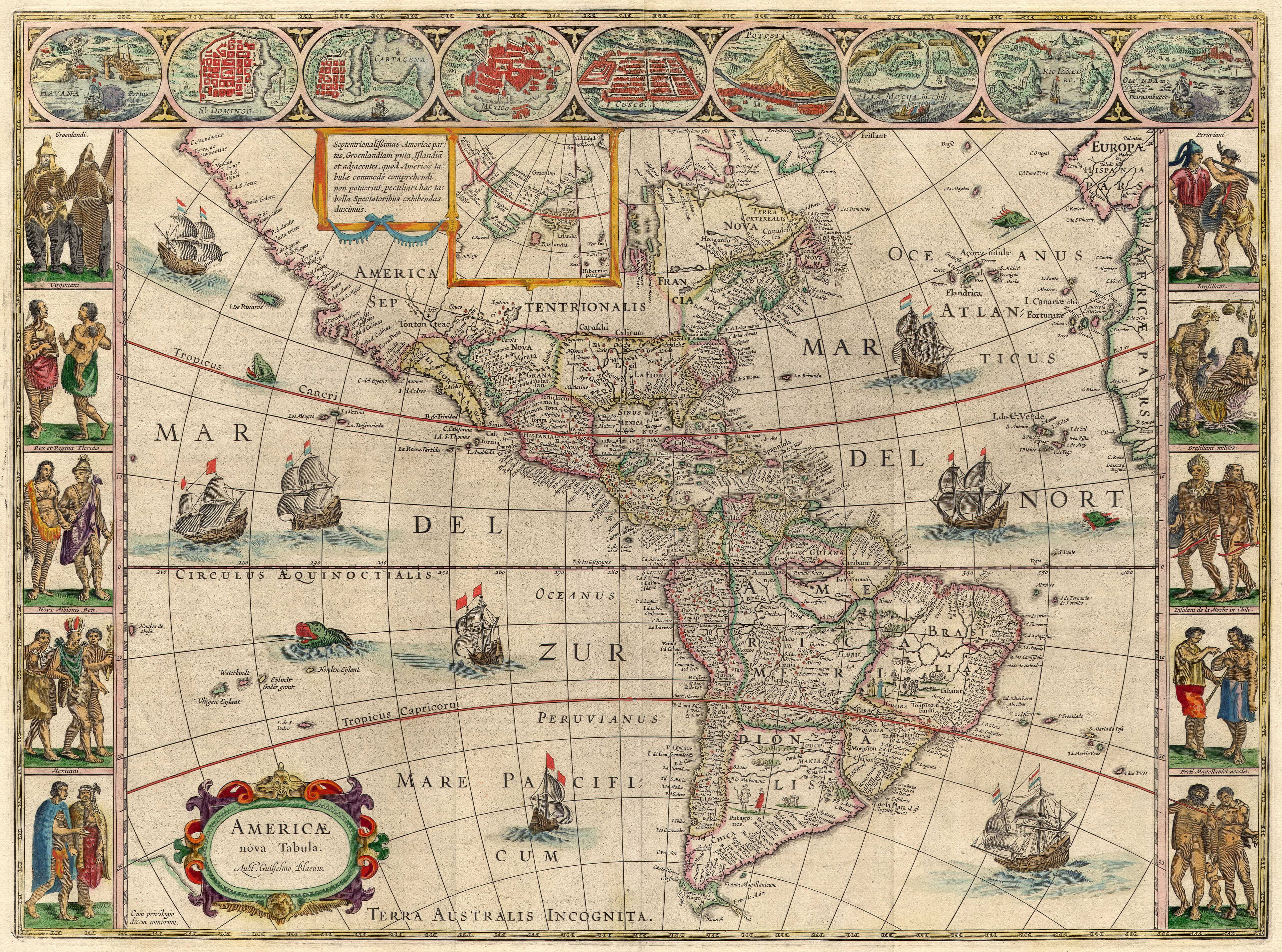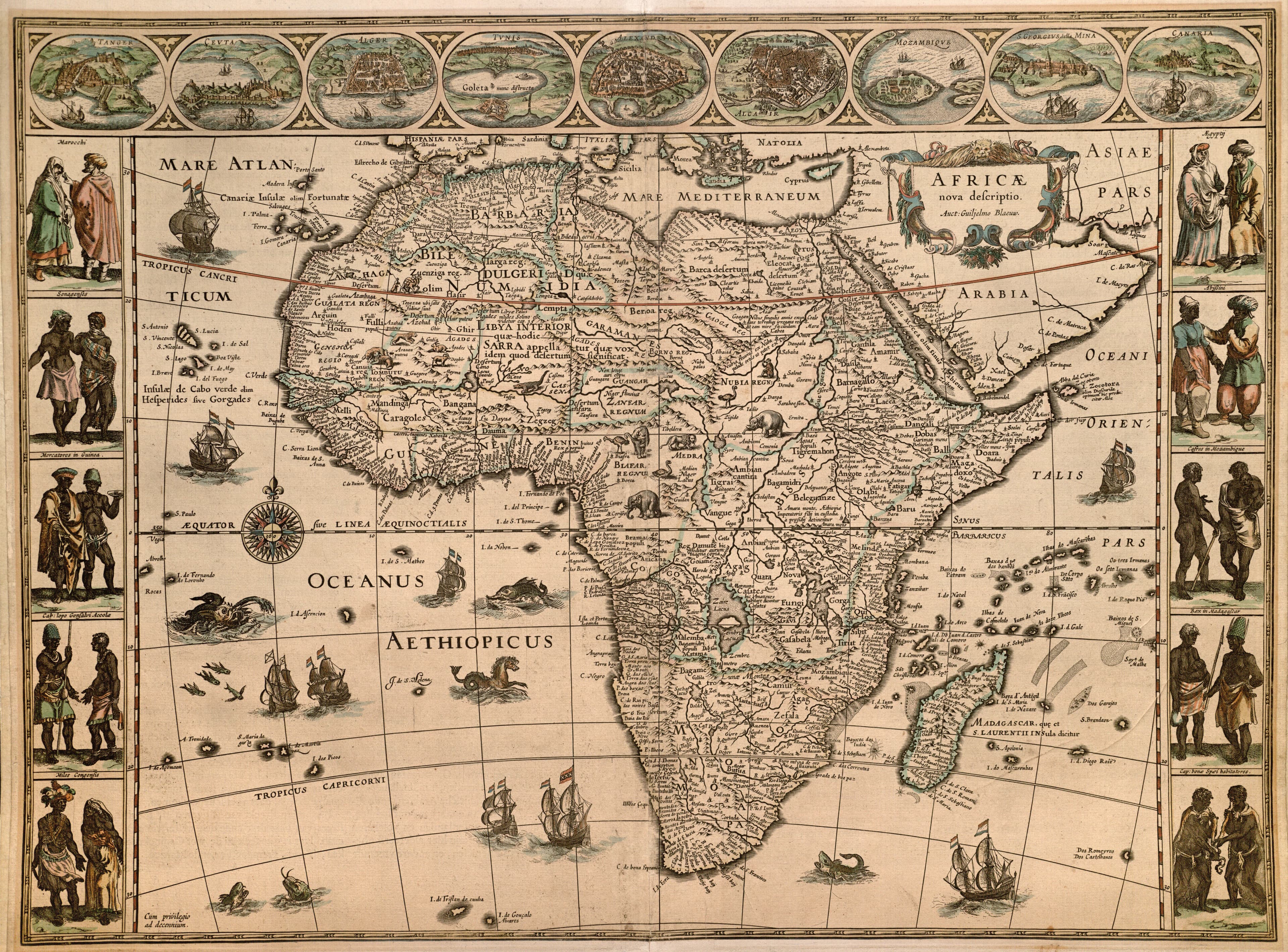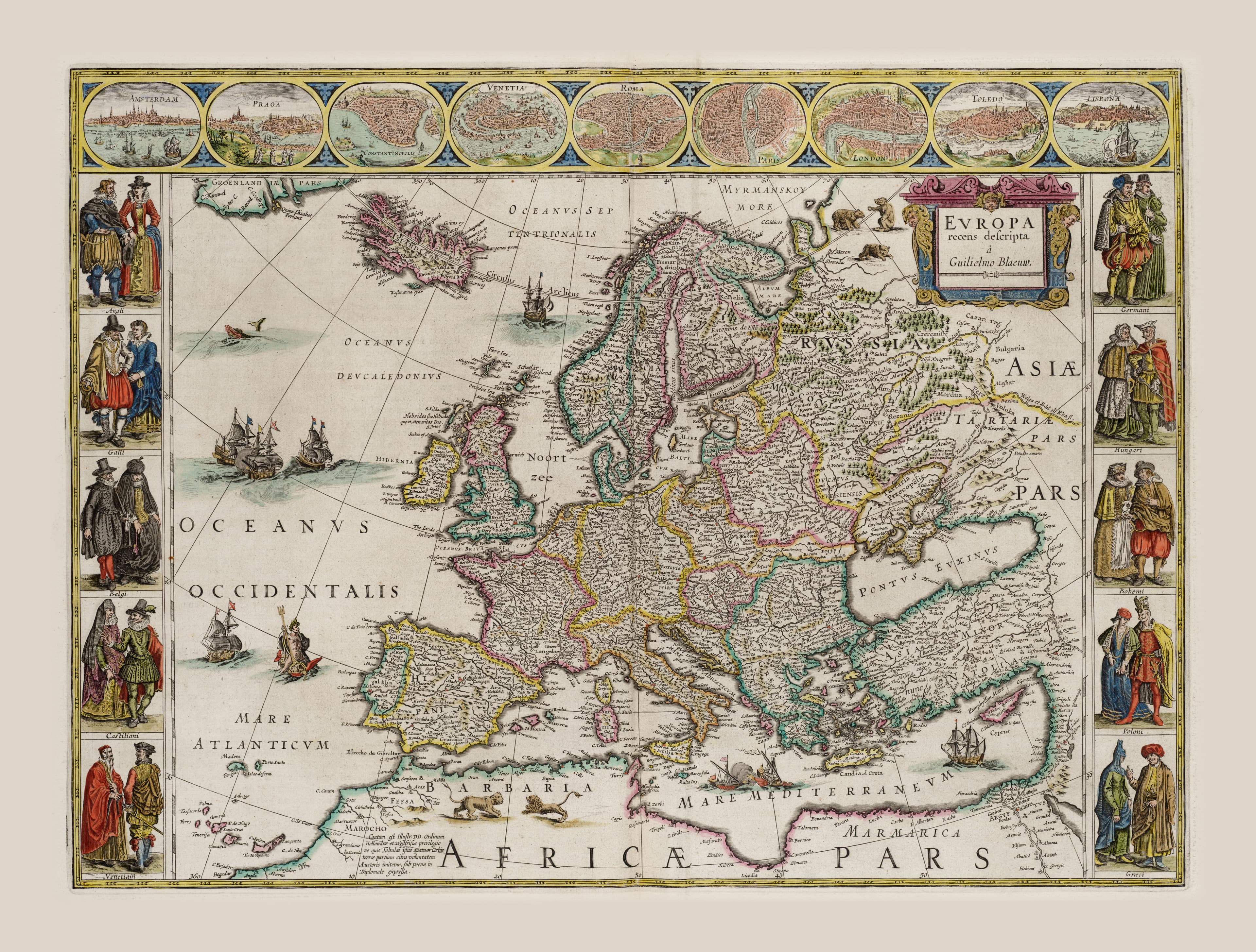
The Continents
Asia
The road to the riches of the East.
- Map
- Asia noviter delineata
- Mapmaker
- Willem Blaeu
- Date
- c. 1617
- Held by
- National Library of Israel, Eran Laor Cartographic Collection
Format
The full-resolution scan, color-managed to the source — yours to print, study, and explore.
Size
$29.00
The story
Asia was the prize — the source of spice, silk, and porcelain that drove the whole age of exploration — and Blaeu maps it richly, its borders lined with views of Jerusalem, Damascus, and Goa and the peoples of the East in their dress. The Spice Islands and a curiously-shaped Japan are drawn fresh from Dutch East India voyages. The most coveted continent, rendered by the greatest workshop of its day. One quarter of the four-continent set.
About this reproduction
- A faithful reproduction of a public-domain map held by National Library of Israel, Eran Laor Cartographic Collection — the work is centuries out of copyright.
- Printed to order on archival cotton-rag or textured laid stock, pigment inks rated 100+ years.
- Color-managed to the source scan; we correct nothing and invent nothing.
- Ships in 5–10 business days, rolled in a heavy-wall tube (framed and linen-backed pieces ship flat-packed).
- If it arrives less than perfect, we reprint or refund — your choice.
Why our maps cost more than a poster: we print from the highest-resolution scans in existence, at sizes where the engraving itself becomes visible — the sea monsters, the tiny place-names, the burin lines — on stock made to outlive its owner.
Complete the set
The Four Continents
Blaeu's Americas, Africa, Asia, and Europe — the classic four-map wall of the Golden Age.
View the set →