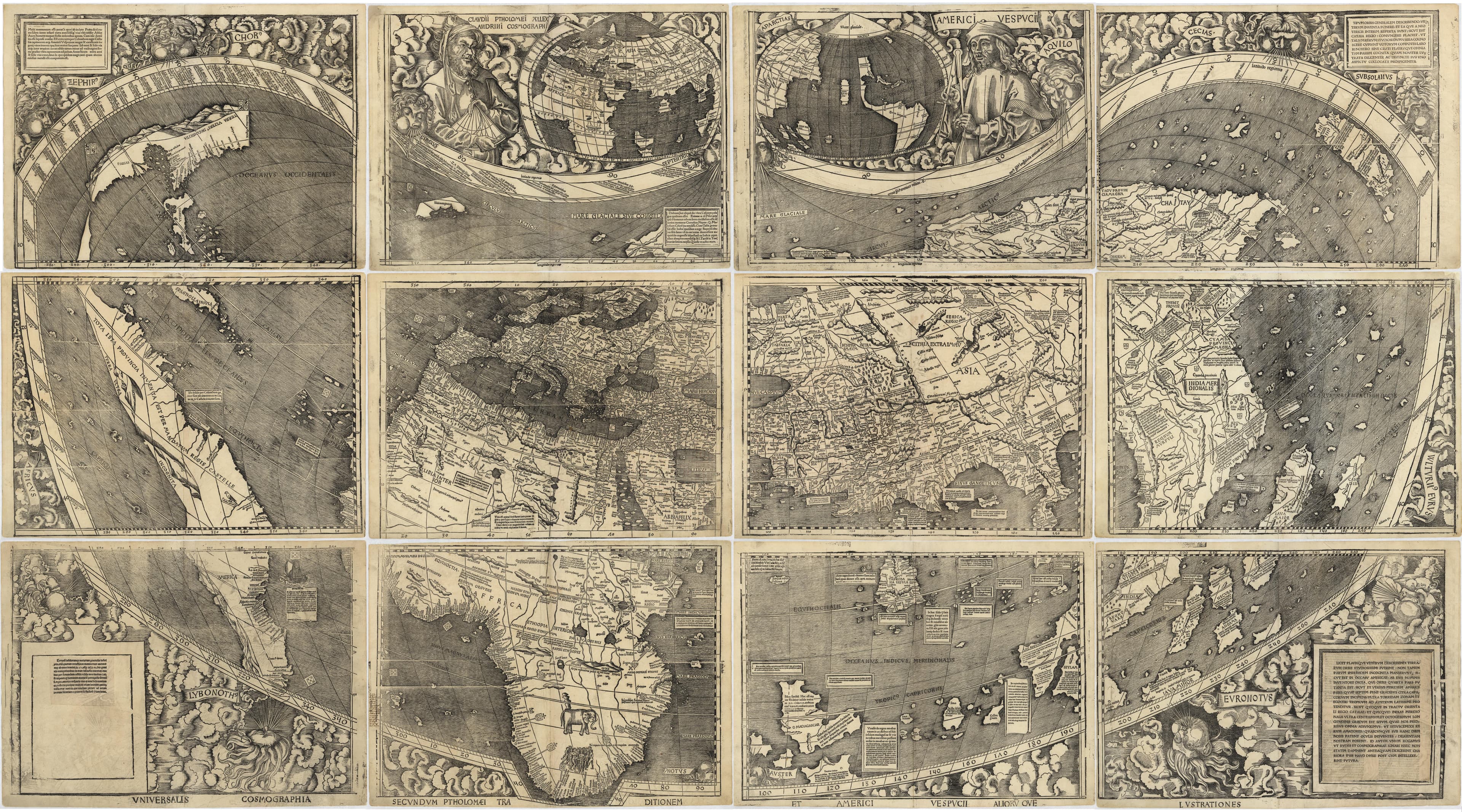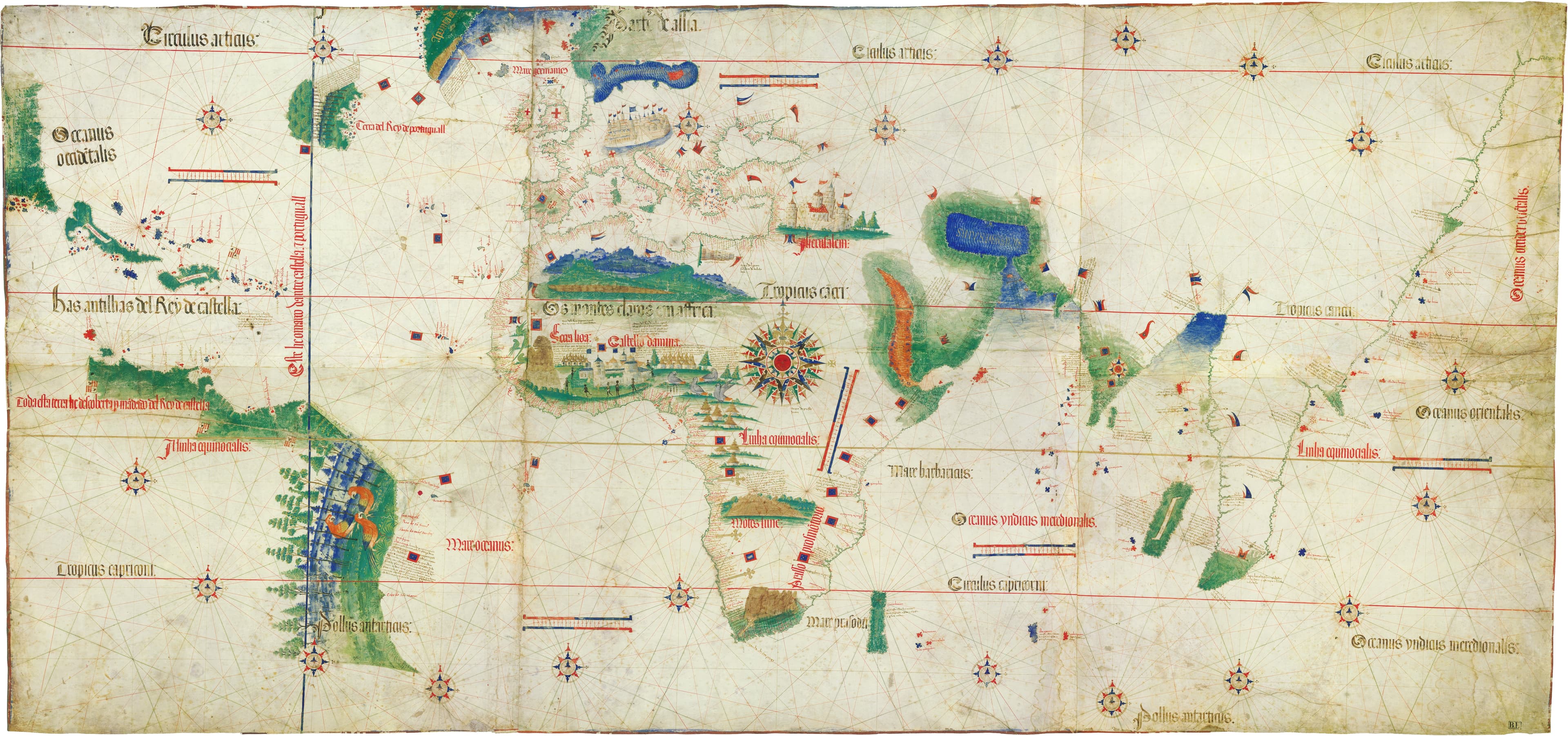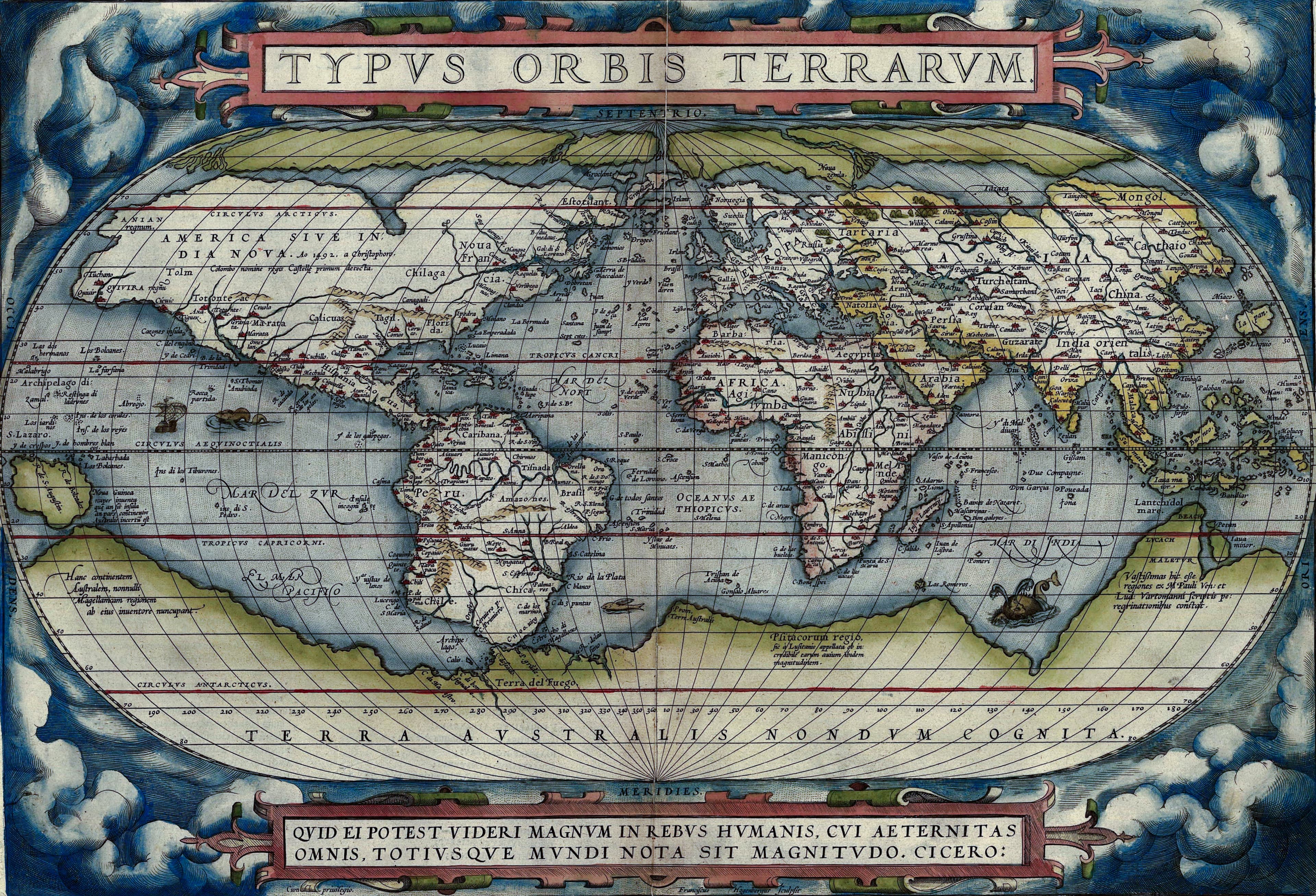
The Great World Maps
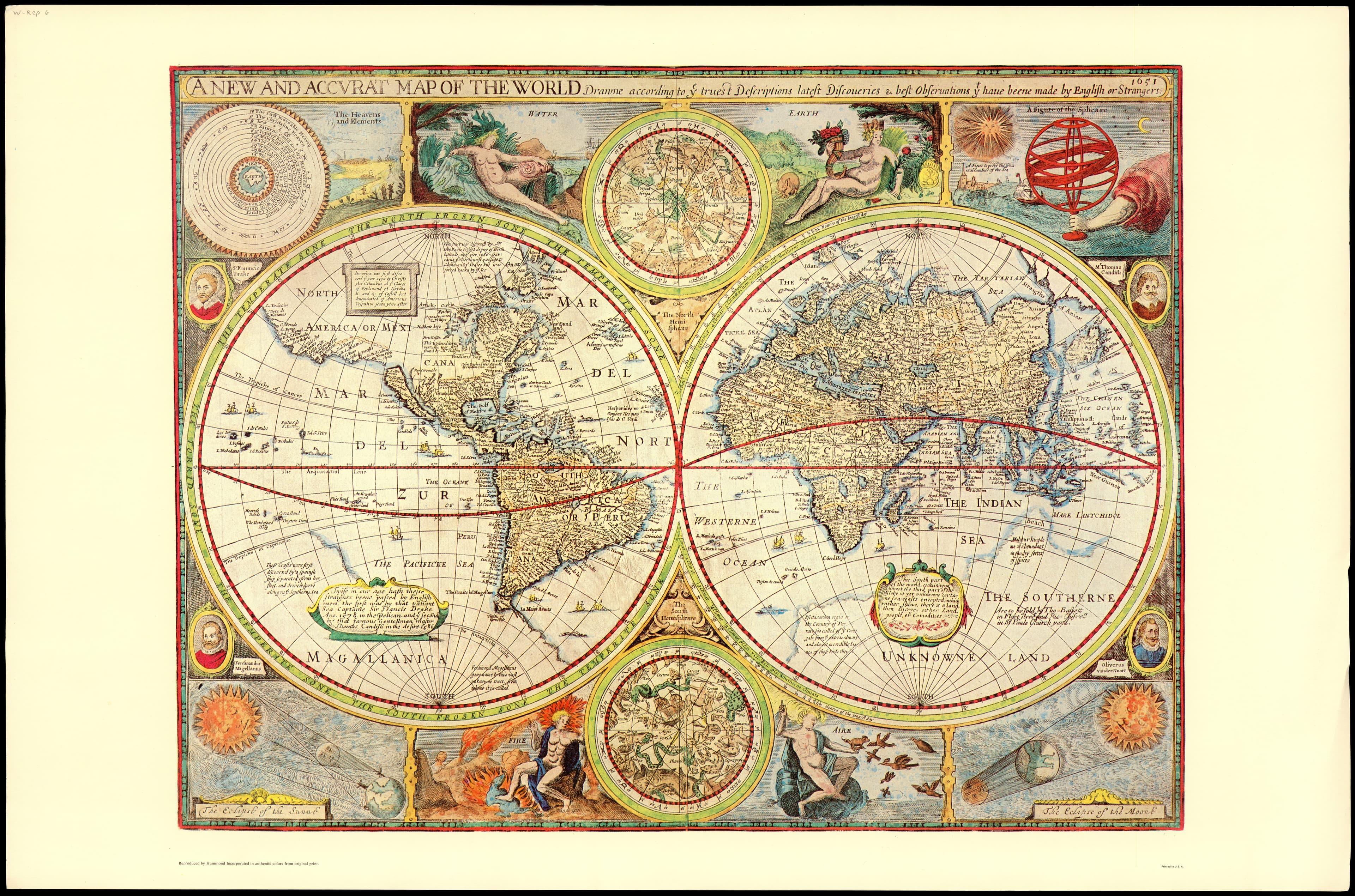
A New and Accurat Map of the World
The great English world map, ringed with wonders.
- Map
- A Prospect of the Most Famous Parts of the World
- Mapmaker
- John Speed
- Date
- 1627
- Held by
- National Library of Israel — Eran Laor Cartographic Collection
Format
The full-resolution scan, color-managed to the source — yours to print, study, and explore.
Size
$29.00
The story
John Speed's world of 1627 surrounds its two hemispheres with everything an educated Englishman was meant to marvel at: diagrams of eclipses, the portraits of Ptolemy and the astronomers, the four elements, the wheeling celestial spheres. Part map, part encyclopedia of the heavens and the Earth, it was the first world map both drawn and published by an Englishman. A window onto how the seventeenth century saw its whole cosmos at once — measurable, ordered, and full of wonder.
About this reproduction
- A faithful reproduction of a public-domain map held by National Library of Israel — Eran Laor Cartographic Collection — the work is centuries out of copyright.
- Printed to order on archival cotton-rag or textured laid stock, pigment inks rated 100+ years.
- Color-managed to the source scan; we correct nothing and invent nothing.
- Ships in 5–10 business days, rolled in a heavy-wall tube (framed and linen-backed pieces ship flat-packed).
- If it arrives less than perfect, we reprint or refund — your choice.
Why our maps cost more than a poster: we print from the highest-resolution scans in existence, at sizes where the engraving itself becomes visible — the sea monsters, the tiny place-names, the burin lines — on stock made to outlive its owner.