Cartographic Wonders
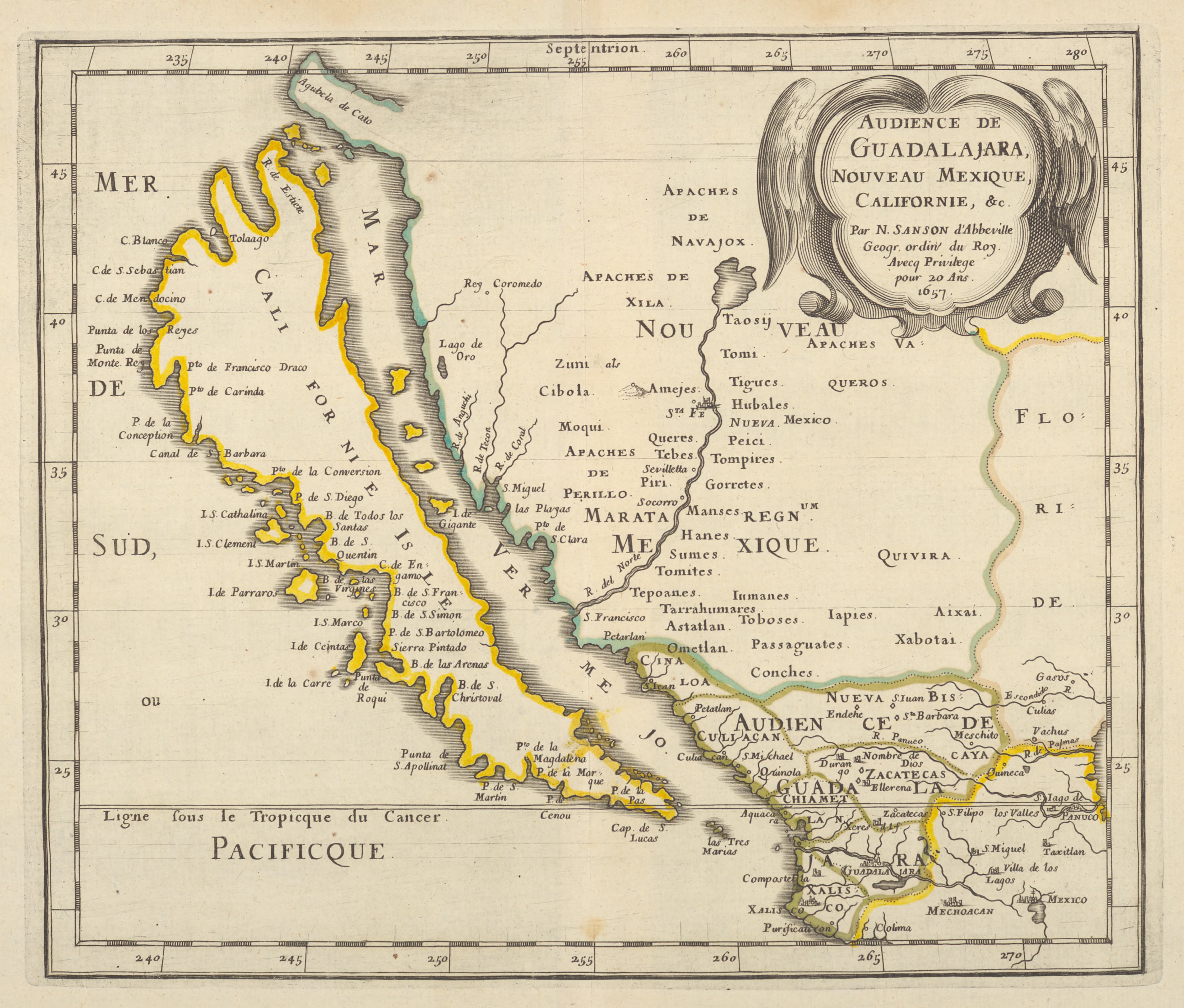
California as an Island
The most beautiful mistake in cartography.
- Map
- A map of the California-as-an-island tradition
- Mapmaker
- Nicolas Sanson / Joan Vinckeboons and others
- Date
- c. 1650
- Held by
- New York Public Library
Format
The full-resolution scan, color-managed to the source — yours to print, study, and explore.
Size
$29.00
The story
For nearly a century, mapmakers were certain California was an island. The error crept in around 1620, spread across the finest maps of Europe, and proved so stubborn that Spain issued a royal decree in 1747 declaring California not an island — and still the beautiful mistake lingered. These maps sever California cleanly from the continent, a long green isle floating in its own sea. A monument to how an idea, once drawn, can outlive the truth. The most famous phantom in the history of the map.
About this reproduction
- A faithful reproduction of a public-domain map held by New York Public Library — the work is centuries out of copyright.
- Printed to order on archival cotton-rag or textured laid stock, pigment inks rated 100+ years.
- Color-managed to the source scan; we correct nothing and invent nothing.
- Ships in 5–10 business days, rolled in a heavy-wall tube (framed and linen-backed pieces ship flat-packed).
- If it arrives less than perfect, we reprint or refund — your choice.
Why our maps cost more than a poster: we print from the highest-resolution scans in existence, at sizes where the engraving itself becomes visible — the sea monsters, the tiny place-names, the burin lines — on stock made to outlive its owner.