Cities, Globes & the Heavens
Civitates Orbis Terrarum
A great city, seen from the air before flight.
- Map
- Civitates Orbis Terrarum (a city plate)
- Mapmaker
- Georg Braun & Frans Hogenberg
- Date
- 1572–1617
- Held by
- Published Cologne
Format
The full-resolution scan, color-managed to the source — yours to print, study, and explore.
Size
$29.00
The story
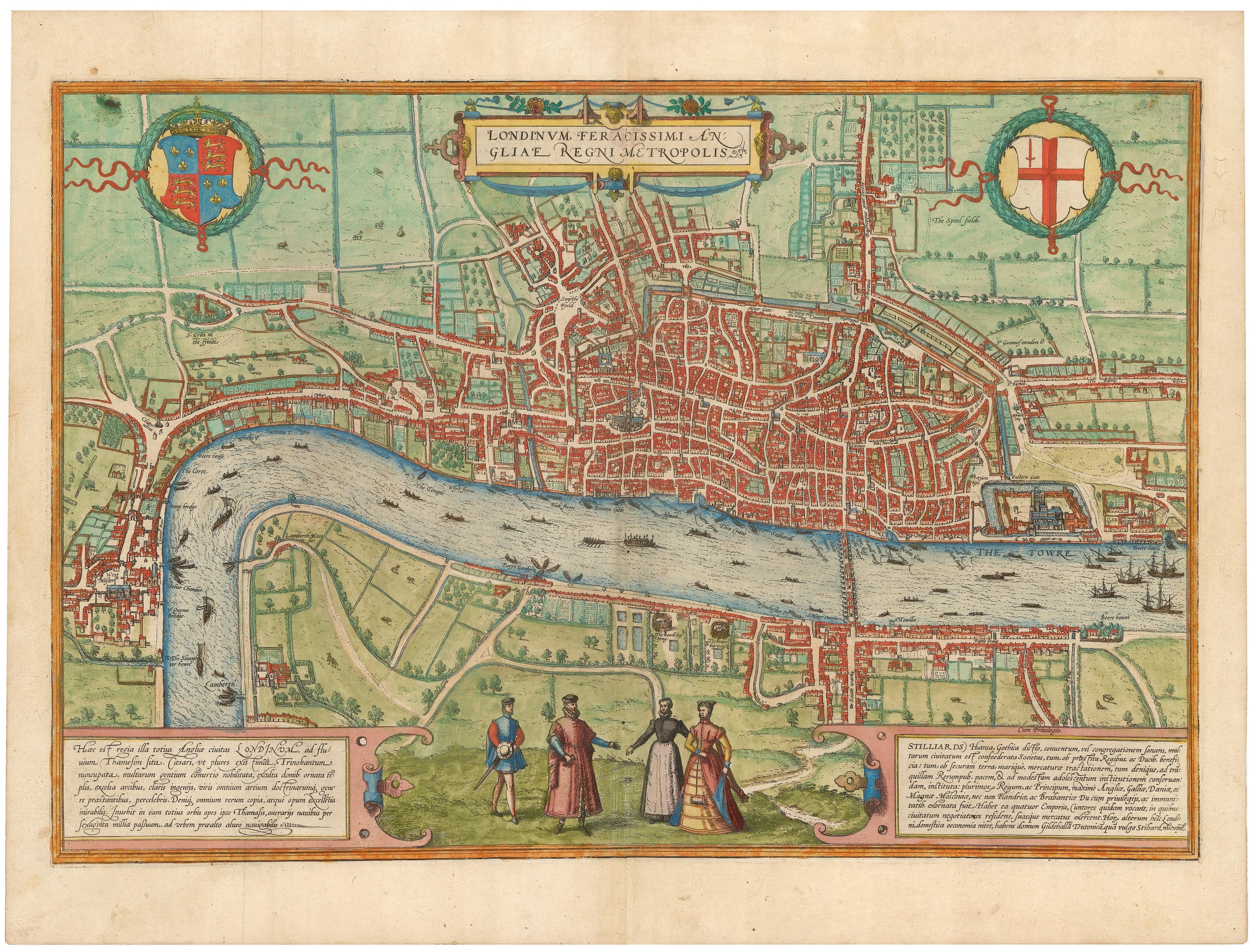
Two centuries before anyone could fly, Braun and Hogenberg drew the cities of the world as if from the air. Their Civitates Orbis Terrarum — the first great atlas of city views — spans some five hundred and forty places, from Venice to Cairo to Mexico, each rendered in bird's-eye splendour with figures in local dress placed in the foreground (partly, it's said, to deter the map from military use). To hang one is to look down on a Renaissance city, walls and harbours and all, exactly as its own citizens wished to be seen.
About this reproduction
- A faithful reproduction of a public-domain map held by Published Cologne — the work is centuries out of copyright.
- Printed to order on archival cotton-rag or textured laid stock, pigment inks rated 100+ years.
- Color-managed to the source scan; we correct nothing and invent nothing.
- Ships in 5–10 business days, rolled in a heavy-wall tube (framed and linen-backed pieces ship flat-packed).
- If it arrives less than perfect, we reprint or refund — your choice.
Why our maps cost more than a poster: we print from the highest-resolution scans in existence, at sizes where the engraving itself becomes visible — the sea monsters, the tiny place-names, the burin lines — on stock made to outlive its owner.